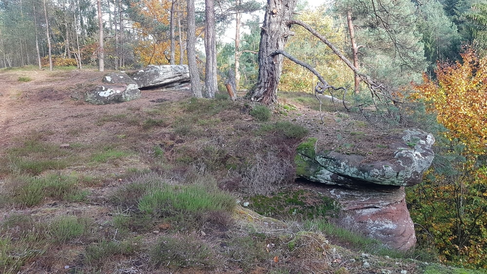
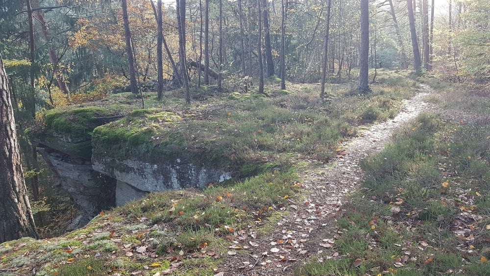
Diese abwechslungsreiche Rundwanderung beeindruckt durch Felsformationen, einem Bachlauf und einem Pfad oberhalb des Steilhangs zum Kutbach durch Heidegraut. Leider kann man die kleine Steilstrecke nicht vermeiden. Dort kann man Stöcke gebrauchen. Auch ein Abstecher zur Genoveva Höhle lohnt.
Galerija izletov
Zemljevid in višinski profil izleta
Minimum height 222 m
Maximum height 256 m
Komentarji

Wanderparkplatz "Dicke Buche" an der B52 (N49 47.968 E6 39.339) zwischen Ehrang und Autobahnkreuz Luxemburg/Trier
Poti GPS
Trackpoints-
GPX / Garmin Map Source (gpx) download
-
TCX / Garmin Training Center® (tcx) download
-
CRS / Garmin Training Center® (crs) download
-
Google Earth (kml) download
-
G7ToWin (g7t) download
-
TTQV (trk) download
-
Overlay (ovl) download
-
Fugawi (txt) download
-
Kompass (DAV) Track (tk) download
-
List z izleti (pdf) download
-
Original file of the author (gpx) download
Add to my favorites
Remove from my favorites
Edit tags
Open track
My score
Rate


