


Von Mariensee geht's ueber eine Schotterstrasse mit Bachdurchquerung zuerst zur Marienseer Schwaig, danach etwas ebener ueber Schotter bis zur Abfahrt zum Feistrizsattel. Dort flott ueber die Strasse hinunter nach Feistritzwald (die armen Autofahrer bitte nicht schrecken, also vorsichtig im Rueckspiegel auftauchen!).
Vom Tal aus dann wieder verbotenerweise ueber Forststrassen hinauf, bis zu einem ueberwachsenen Karrenweg. Dort geht es eine Zeitlang eher eben dahin, bis man auf die leider von Automobilen befahrene Strasse hinauf auf den Hochwechsel stoesst.
Von dort bin ich dann aufgrund des schlechten Wetters wieder fast denselben Weg hinunter gefahren - eine Weiterfahrt, zB zum Schwarzen Herrgott ist aber auch lustig, wer noch kann.
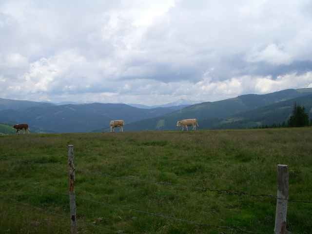
Galerija izletov
Zemljevid in višinski profil izleta
Minimum height 831 m
Maximum height 1742 m
More about the tour author

|
hekker |
Komentarji

A2 bis Grimmenstein, in Aspang Markt links abbiegen und den Wegweisern nach Mariensee folgen.
Poti GPS
Trackpoints-
GPX / Garmin Map Source (gpx) download
-
TCX / Garmin Training Center® (tcx) download
-
CRS / Garmin Training Center® (crs) download
-
Google Earth (kml) download
-
G7ToWin (g7t) download
-
TTQV (trk) download
-
Overlay (ovl) download
-
Fugawi (txt) download
-
Kompass (DAV) Track (tk) download
-
List z izleti (pdf) download
-
Original file of the author (g7t) download
More about the tour author
|
|
hekker |
Add to my favorites
Remove from my favorites
Edit tags
Open track
My score
Rate