Login

Si pozabil/a podatke za prijavo?

Cookies have to be accepted!
Your browser's cookie functionality is disabled. Please enable this functionality.

Not a member yet?

Register now
Login

Available for registred users only

Log in to use this feature.

Si pozabil/a podatke za prijavo?

Cookies have to be accepted!
Your browser's cookie functionality is disabled. Please enable this functionality.

Not a member yet?

Register now
Filter
Kategorije
Advanced filters
  • Dolžina (km)
  • Metri nadmorske višine
Shrani filter Reset filter

TrackRank

QRCode

Technical data

Dolžina60,0 km Metri nadmorske višine918 m Way down895 m Trajanje02:50 h:m Datum25.06.2008
Ocene Author Pokrajina Dejavnik zabave Kondicija Tehnika

Statistika

338 Pogledi Ocene 103 Prenosi Povprečje
Rate
  • List z izleti
  • Prihod
  • Prenosi

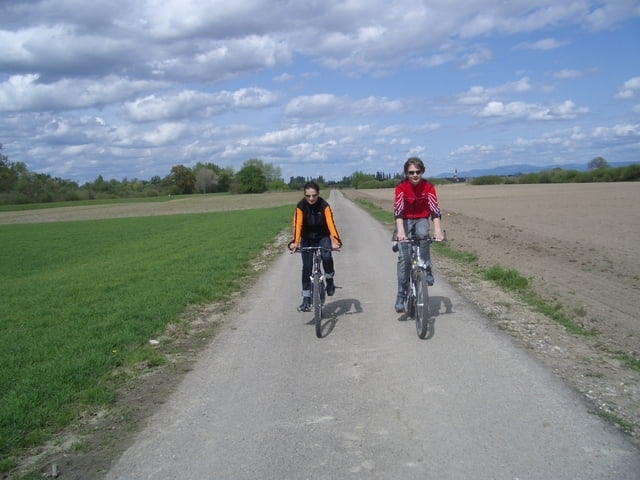
Mittlere Trainingstour auf meistens breiten Waldwegen bzw kleinen Teerstrassen.

Hoher Panoramaanteil. Nach km 30 etwas technisch. Mehrere Einkehrmöglichkeiten.

Wer nicht unbedingt nach Dörlinbach muss,  kann sich die östliche Schleife mit einem knackigenAnstieg sparen und fährt eingangs des Pfades mit den zwei Sandsteinquadern rechts.

Further information at

http://ww.rad05.de

Zemljevid in višinski profil izleta

  • Open Street Map
  • Google
Minimum height 143 m Maximum height 523 m Prikaz podrobnosti

More about the tour author

rad05
Member since 2008

Send private message

Komentarji

A5, Ausfahrt Ettenheim, immer nach Westen

Poti GPS

Trackpoints
  • GPX / Garmin Map Source (gpx) download
  • TCX / Garmin Training Center® (tcx) download
  • CRS / Garmin Training Center® (crs) download
  • Google Earth (kml) download
  • G7ToWin (g7t) download
  • TTQV (trk) download
  • Overlay (ovl) download
  • Fugawi (txt) download
  • Kompass (DAV) Track (tk) download
  • List z izleti (pdf) download
  • Original file of the author (gpx) download

More about the tour author

rad05
Member since 2008

Send private message
Share track
Add to my favorites
Remove from my favorites
Edit tags
My score
Rate
Izlet: Kappel-Doerlinbach Rundtour
Vrsta: Gorsko kolo
Dolžina: 60,0 km
Evaluated on:
Trajanje:
Day(s)
Hour(s)
Minute(s)
Ocena: Pokrajina Dejavnik zabave Kondicija Tehnika