Login

Si pozabil/a podatke za prijavo?

Cookies have to be accepted!
Your browser's cookie functionality is disabled. Please enable this functionality.

Not a member yet?

Register now
Login

Available for registred users only

Log in to use this feature.

Si pozabil/a podatke za prijavo?

Cookies have to be accepted!
Your browser's cookie functionality is disabled. Please enable this functionality.

Not a member yet?

Register now
Filter
Kategorije
Advanced filters
  • Dolžina (km)
  • Metri nadmorske višine
Shrani filter Reset filter

TrackRank

QRCode

Technical data

Dolžina12,9 km Metri nadmorske višine258 m Way down277 m Trajanje00:00 h:m Datum27.05.2021
Ocene Author Pokrajina Dejavnik zabave Kondicija Tehnika

Statistika

222 Pogledi Ocene 22 Prenosi Povprečje
Rate
  • List z izleti
  • Prihod
  • Prenosi

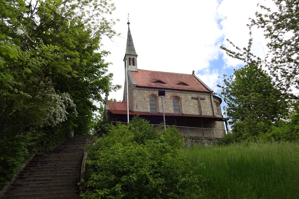
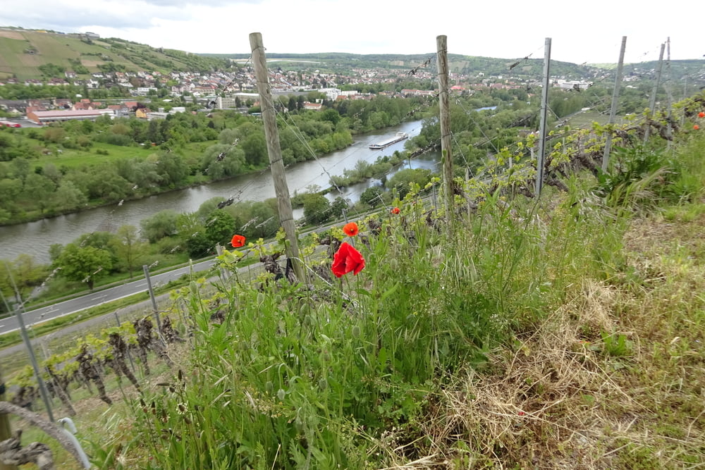
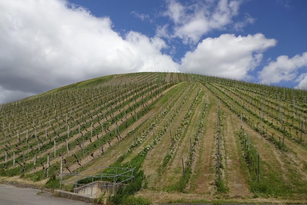
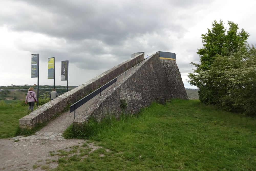
Rund um Randersacker - "Zwischen Wein und Stein"

Schöne Wanderung Rund um Randersacker aus dem Rother Wanderbuch "Fränkisches Weinland mit Taubertal die Nr. 28


Viel Spaß!


.

Galerija izletov

Zemljevid in višinski profil izleta

  • Open Street Map
  • Google
Minimum height 164 m Maximum height 292 m Prikaz podrobnosti

More about the tour author

FLU
Member since 2009

Send private message

Komentarji

Poti GPS

Trackpoints
  • GPX / Garmin Map Source (gpx) download
  • TCX / Garmin Training Center® (tcx) download
  • CRS / Garmin Training Center® (crs) download
  • Google Earth (kml) download
  • G7ToWin (g7t) download
  • TTQV (trk) download
  • Overlay (ovl) download
  • Fugawi (txt) download
  • Kompass (DAV) Track (tk) download
  • List z izleti (pdf) download
  • Original file of the author (gpx) download

More about the tour author

FLU
Member since 2009

Send private message
Share track
Add to my favorites
Remove from my favorites
Edit tags
My score
Rate
Izlet: Rund um Randersacker
Vrsta: Pešačenje
Dolžina: 12,9 km
Evaluated on:
Trajanje:
Day(s)
Hour(s)
Minute(s)
Ocena: Pokrajina Dejavnik zabave Kondicija Tehnika