


- Marienstein
- Gaißachtal
- Nähe Kogelkopf
- Oberes Breitbachtal
- Bad Wiesseer Höhenweg
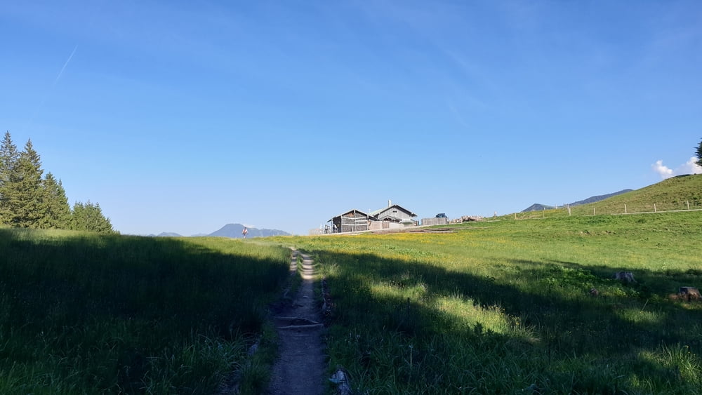
- Aueralm
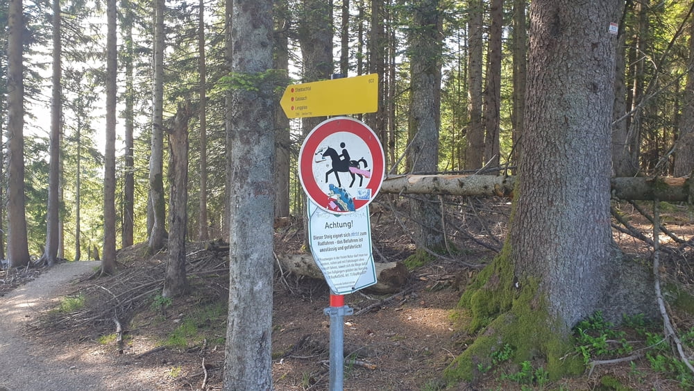
- Steinbachtal
- Steinbachalm (abgebrochen)
- Untermberg
- Mühle
- Hochfilzen (Weg zur Schwaigeralm)
- Gaißachtal
- Schlierachtal
- Marienstein
- Gaißachtal
- Nähe Kogelkopf
- Oberes Breitbachtal
- Bad Wiesseer Höhenweg
- Aueralm
- Steinbachtal
- Steinbachalm (abgebrochen)
- Untermberg
- Mühle
- Hochfilzen (Weg zur Schwaigeralm)
- Gaißachtal
- Schlierachtal
- Marienstein
Galerija izletov


Zemljevid in višinski profil izleta
Minimum height 683 m
Maximum height 1259 m
More about the tour author

|
Komentarji

A8 München Salzburg bis Ausfahrt Holzkirchen. Dann der B318 in Richtung Tegernsee fahren.
An der Großen Kreuzung vor der Abfahrt nach Gmund, von der B318 nach rechts auf die B472 abzweigen. Am ersten Kreisverkehr con diese in Richtung Marienstein abbiegen.
Nach der vollständigen Durchquerung von Marienstein, befindet sich am Ende der Straße ein kleiner Parkplatz.
Poti GPS
Trackpoints-
GPX / Garmin Map Source (gpx) download
-
TCX / Garmin Training Center® (tcx) download
-
CRS / Garmin Training Center® (crs) download
-
Google Earth (kml) download
-
G7ToWin (g7t) download
-
TTQV (trk) download
-
Overlay (ovl) download
-
Fugawi (txt) download
-
Kompass (DAV) Track (tk) download
-
List z izleti (pdf) download
-
Original file of the author (tcx) download
More about the tour author
|
|
Add to my favorites
Remove from my favorites
Edit tags
Open track
My score
Rate