


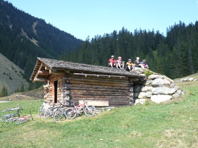
Wir starten beim Hotel Zerres in Partenen in Richtung Bieler Höhe. Schon in Kehre Nr. 2 zweigen wir ab und biken durchs Ganifer ziemlich steil hoch bis unterhalb des Stausee Kops. Dort wiederum links abzweigen in Richtung Verbella Alpe. Bei der Verbella Alpe wird noch kurz eingekehrt und dann geht´s weiter auf die Heilbronner Hütte.
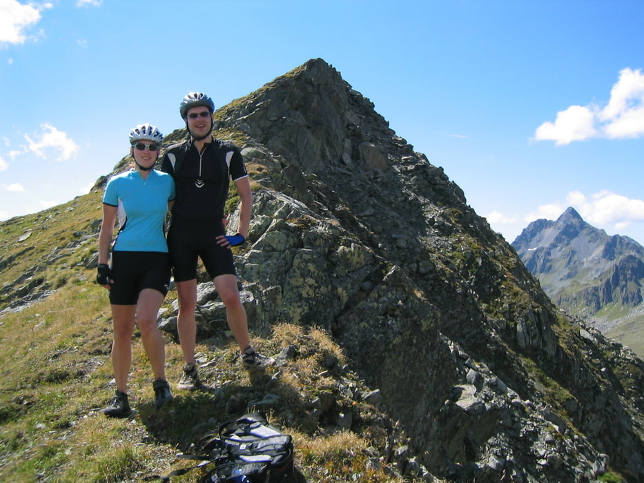
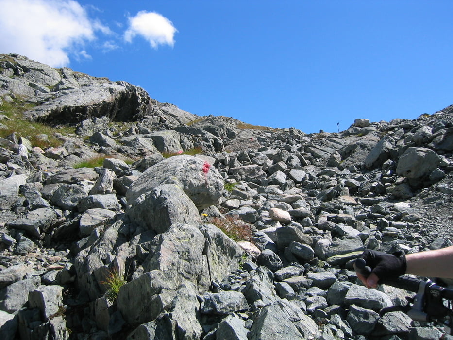
Ab der Heilbronner Hütte kann noch kurz an den Scheidseen vorbei gefahren werden, dann folgt eine ca. 1 - 1,5 stündige Schiebe- und Tragepassage bis man im Mardusa wieder auf die Fahrstraße des Valschaviel-Tales trifft. Dann folgt eine lange und meist steile Abfahrt durch das Valschavieltal bis nach Gaschurn. Von Gaschurn geht´s dann wieder gemütlich zurück ins Hotel Zerres in Partenen.
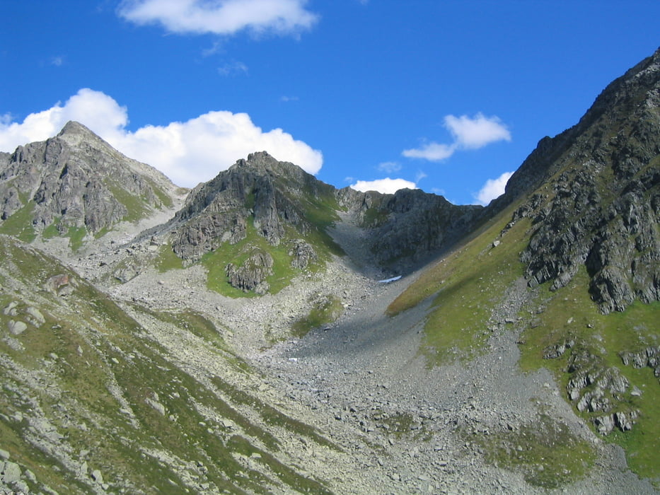
Landschaftlich eine superschöne Tour!!!
Galerija izletov
Zemljevid in višinski profil izleta
Minimum height 1018 m
Maximum height 2460 m
More about the tour author
|
|
Gueni |
Komentarji

Poti GPS
Trackpoints-
GPX / Garmin Map Source (gpx) download
-
TCX / Garmin Training Center® (tcx) download
-
CRS / Garmin Training Center® (crs) download
-
Google Earth (kml) download
-
G7ToWin (g7t) download
-
TTQV (trk) download
-
Overlay (ovl) download
-
Fugawi (txt) download
-
Kompass (DAV) Track (tk) download
-
List z izleti (pdf) download
-
Original file of the author (gpx) download
More about the tour author
|
|
Gueni |
Add to my favorites
Remove from my favorites
Edit tags
Open track
My score
Rate