

Sehr schöne MTB Runde um den Hochfelln.
Teilweise mit sehr steilen Rampen die Kraft aus den Beinen ziehen.
Parken kann man direkt in Ruhpolding / Bahnhof, hier nur wenige entfernt ist der Einstieg.
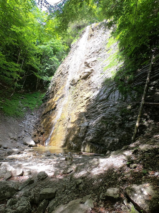
Es geht anfangs gemütlich zum einrollen an einen kleinen Bach entlang bevor es dann in die Berge geht. Mit einem Hardtail fährt es sich sehr schön. Es gibt viele schöne Fotopoints die zum verweilen einladen. Trinkstellen sind auch genügend vorhanden. Man kann auch noch als kleine Zugabe die Röthelmoosalm besuchen. Die Strecke geht teilweise an der Chiemgau MTB Marathon Strecke entlang. Ein schöner Wasserfall ist ebenfalls zu sehen. Insgesamt vom technischen her eine leichte Tour. EIn kurzes Stück ist mal ein Trail dabei, den kann man fahren oder man schiebt ca 10min.
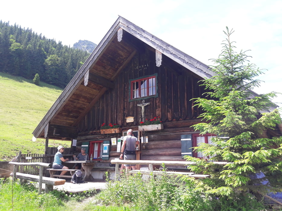
Auf alle Fälle in der Bleichenbergalm einkehren. Super Kuchen und günstige Preise.
Viel Spass beim Nachfahren
Galerija izletov


Zemljevid in višinski profil izleta
Minimum height 634 m
Maximum height 1104 m
More about the tour author
|
|
franz1962 |
Komentarji

Poti GPS
Trackpoints-
GPX / Garmin Map Source (gpx) download
-
TCX / Garmin Training Center® (tcx) download
-
CRS / Garmin Training Center® (crs) download
-
Google Earth (kml) download
-
G7ToWin (g7t) download
-
TTQV (trk) download
-
Overlay (ovl) download
-
Fugawi (txt) download
-
Kompass (DAV) Track (tk) download
-
List z izleti (pdf) download
-
Original file of the author (gpx) download
More about the tour author
|
|
franz1962 |
Add to my favorites
Remove from my favorites
Edit tags
Open track
My score
Rate