


- Tegernsee (N47 42.893 E11 45.446)
- Alpbachtal (N47 42.731 E11 46.906)
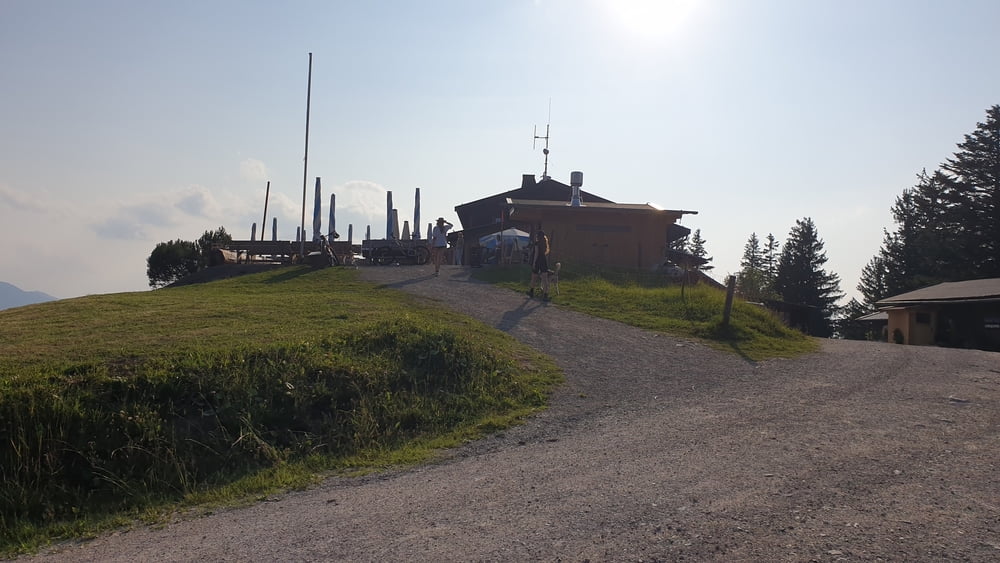
- Kreuzbergsattel (N47 42.855 E11 48.591)
- Stadeltal (N47 42.529 E11 48.946)
- Lahner Höhenweg (N47 42.599 E11 49.040)
- Rennersberg Höhenweg (N47 41.811 E11 50.414)
- Westerberg Höhenweg (N47 43.130 E11 50.819)
- Breitenbachtal (N47 43.650 E11 50.385)
- Breitenbach (N47 43.926 E11 50.714)
- Schliersee (N47 44.167 E11 51.017)
- Hausham (Alpengasthof Glück Auf) (N47 44.736 E11 50.087)
- Moosrain (N47 44.884 E11 49.767)
- Gindelalm (N47 43.583 E11 48.142)
- Neureuthaus (N47 43.720 E11 46.361)
- Lieberhof (N47 43.012 E11 46.048)
- Tegernsee (N47 42.893 E11 45.446)
- Alpbachtal (N47 42.731 E11 46.906)
- Kreuzbergsattel (N47 42.855 E11 48.591)
- Stadeltal (N47 42.529 E11 48.946)
- Lahner Höhenweg (N47 42.599 E11 49.040)
- Rennersberg Höhenweg (N47 41.811 E11 50.414)
- Westerberg Höhenweg (N47 43.130 E11 50.819)
- Breitenbachtal (N47 43.650 E11 50.385)
- Breitenbach (N47 43.926 E11 50.714)
- Schliersee (N47 44.167 E11 51.017)
- Hausham (Alpengasthof Glück Auf) (N47 44.736 E11 50.087)
- Moosrain (N47 44.884 E11 49.767)
- Gindelalm (N47 43.583 E11 48.142)
- Neureuthaus (N47 43.720 E11 46.361)
- Lieberhof (N47 43.012 E11 46.048)
- Tegernsee (N47 42.893 E11 45.446)
Galerija izletov


Zemljevid in višinski profil izleta
Minimum height 758 m
Maximum height 1274 m
More about the tour author

|
Komentarji

A8 München Salzburg bis Ausfahrt Holzkirchen. Dann Richtung Tegernsee halten. Bei der Einfahrt in Gmund die Brücke über die Mangfall geradeaus in Richtung Tegernsee überqueren, Dann der Straße entlang am Tegernsee folgen und in Tegernsee nach links in Richtung Bahnhof abzweigen. Am Bahnhof kann der Wagen auf einem kostenpflichtigen Parkplatz abgestellt werden.
Poti GPS
Trackpoints-
GPX / Garmin Map Source (gpx) download
-
TCX / Garmin Training Center® (tcx) download
-
CRS / Garmin Training Center® (crs) download
-
Google Earth (kml) download
-
G7ToWin (g7t) download
-
TTQV (trk) download
-
Overlay (ovl) download
-
Fugawi (txt) download
-
Kompass (DAV) Track (tk) download
-
List z izleti (pdf) download
-
Original file of the author (tcx) download
More about the tour author
|
|
Add to my favorites
Remove from my favorites
Edit tags
Open track
My score
Rate