


- Vorderriß (N47 33.558 E11 26.192 / 782 m)
- Ochsensitz (N47 33.210 E11 25.549 / 789 m)
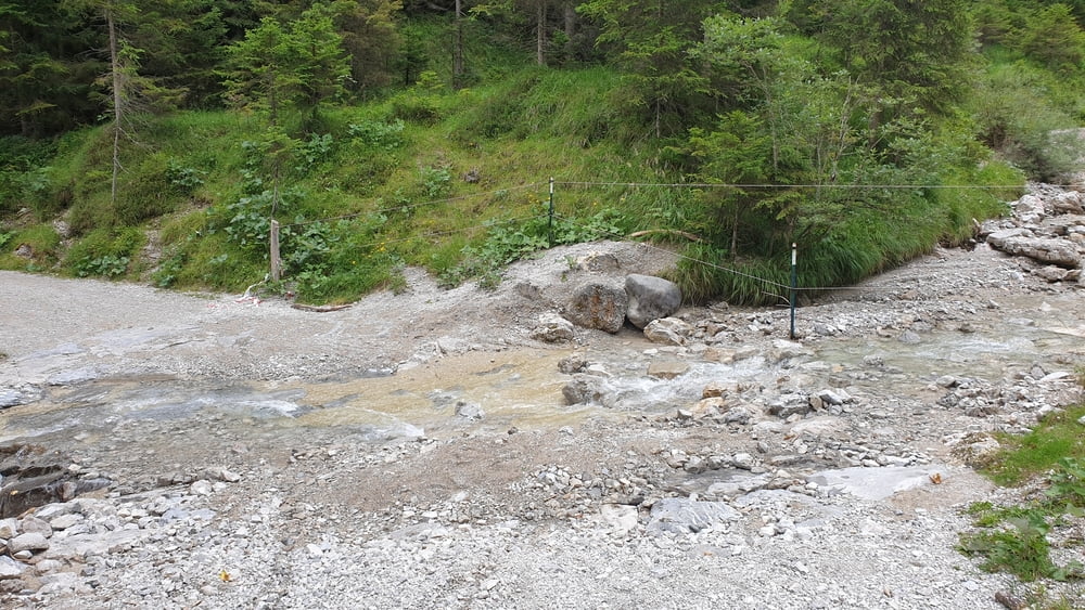
- Abzweig Soiernweg (N47 33.140 E11 25.441 / 790 m)
- Markgraben (N47 31.674 E11 20.048 / 906 m)
- Nähe Auhütte (N47 31.354 E11 18.393 / 860 m)
- Nähe Krün (N47 30.405 E11 17.472 / 868 m)
- Fischbachalm (N47 30.953 E11 20.774 / 1401 m)
- Abzweig Soiernweg (N47 30.378 E11 21.048 / 1278 m)
- Niederbachlalm (N47 31.385 E11 23.000 / 1064 m)
- Nähe Brünstalm (N47 32.095 E11 25.159 / 1058 m)
- Nähe Rißbachstollen (N47 32.447 E11 25.977 / 852 m)
- Isartal (N47 33.140 E11 25.441 / 790 m)
- Ochsensitz (N47 33.210 E11 25.549 / 789 m)
- Vorderriß (N47 33.558 E11 26.192 / 782 m)
- Ochsensitz (N47 33.210 E11 25.549 / 789 m)
- Abzweig Soiernweg (N47 33.140 E11 25.441 / 790 m)
- Markgraben (N47 31.674 E11 20.048 / 906 m)
- Nähe Auhütte (N47 31.354 E11 18.393 / 860 m)
- Nähe Krün (N47 30.405 E11 17.472 / 868 m)
- Fischbachalm (N47 30.953 E11 20.774 / 1401 m)
- Abzweig Soiernweg (N47 30.378 E11 21.048 / 1278 m)
- Niederbachlalm (N47 31.385 E11 23.000 / 1064 m)
- Nähe Brünstalm (N47 32.095 E11 25.159 / 1058 m)
- Nähe Rißbachstollen (N47 32.447 E11 25.977 / 852 m)
- Isartal (N47 33.140 E11 25.441 / 790 m)
- Ochsensitz (N47 33.210 E11 25.549 / 789 m)
- Vorderriß (N47 33.558 E11 26.192 / 782 m)
Galerija izletov


Zemljevid in višinski profil izleta
Minimum height 782 m
Maximum height 1408 m
More about the tour author

|
Komentarji

Von München über die A8 bis zur Ausfahrt Holzkirchen fahren. Von dort in die Holzkirchener Innenstadt fahren und dann auf die B13 in in Richtung Bad Tölz abbiegen. Kurz vor Bad Tölz auf die B472 abbiegen und noch vor der Überquerung der Isar auf die B13 in Richtung Lenggries abbiegen und bis zum Sylvenstein Speicher fahren. Vor der Staumauer rechts am Sylvenstein Speicher entlang in Richtung Fall/Vorderriß fahren. In Vorderriß gibt es verschiedene Möglichkeiten das Auto zu parken.
Poti GPS
Trackpoints-
GPX / Garmin Map Source (gpx) download
-
TCX / Garmin Training Center® (tcx) download
-
CRS / Garmin Training Center® (crs) download
-
Google Earth (kml) download
-
G7ToWin (g7t) download
-
TTQV (trk) download
-
Overlay (ovl) download
-
Fugawi (txt) download
-
Kompass (DAV) Track (tk) download
-
List z izleti (pdf) download
-
Original file of the author (tcx) download
More about the tour author
|
|
Add to my favorites
Remove from my favorites
Edit tags
Open track
My score
Rate