
 am Schwarzriegel")

Von Gipfel zu Gipfel auf dem nördlichsten Höhenzug des Bayerischen Waldes.
Hinweise: Mittelschwere Wanderung. Asphaltierte Betriebswege wechseln sich ab mit steinigen Wald- und Wurzelwegen.
Start/Ziel: Wanderparkplatz unterhalb der Diensthütte Hohenbogen
Markierung: Ri 1, Goldsteig, Ri 11, Baierweg
Route: Wanderparkplatz – Diensthütte Hohenbogen (Ri 1) – Burgstall (Goldsteig) – Diensthütte Hohenbogen (Ri 11) – Farrenruck – Bärenriegel – Eckstein – Schwarzriegel (sektor F) (Schwarzriegelweg) – (Baierweg) – Berghaus Hohen Bogen – Ahornriegel – (Ri 11) – Diensthütte Hohenbogen – Wanderparkplatz
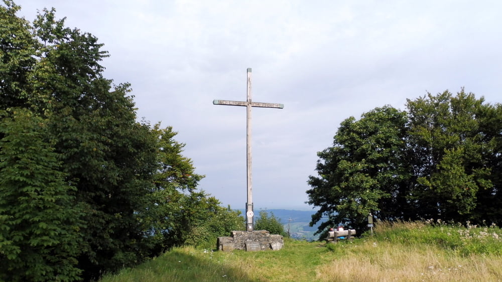
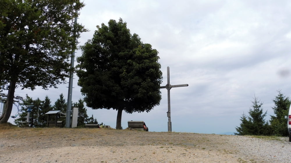
POI: Burgstall (976 m), Farrenruck (979 m), Bärenriegel (1017 m), Eckstein (1073 m), ehem. NATO-Türme (sektor f) am Schwarzriegel (1079 m), Ahornriegel (1050 m)
Galerija izletov


Zemljevid in višinski profil izleta
Minimum height 881 m
Maximum height 1067 m
More about the tour author

|
ejee |
Komentarji

Poti GPS
Trackpoints-
GPX / Garmin Map Source (gpx) download
-
TCX / Garmin Training Center® (tcx) download
-
CRS / Garmin Training Center® (crs) download
-
Google Earth (kml) download
-
G7ToWin (g7t) download
-
TTQV (trk) download
-
Overlay (ovl) download
-
Fugawi (txt) download
-
Kompass (DAV) Track (tk) download
-
List z izleti (pdf) download
-
Original file of the author (gpx) download
More about the tour author
|
|
ejee |
Add to my favorites
Remove from my favorites
Edit tags
Open track
My score
Rate