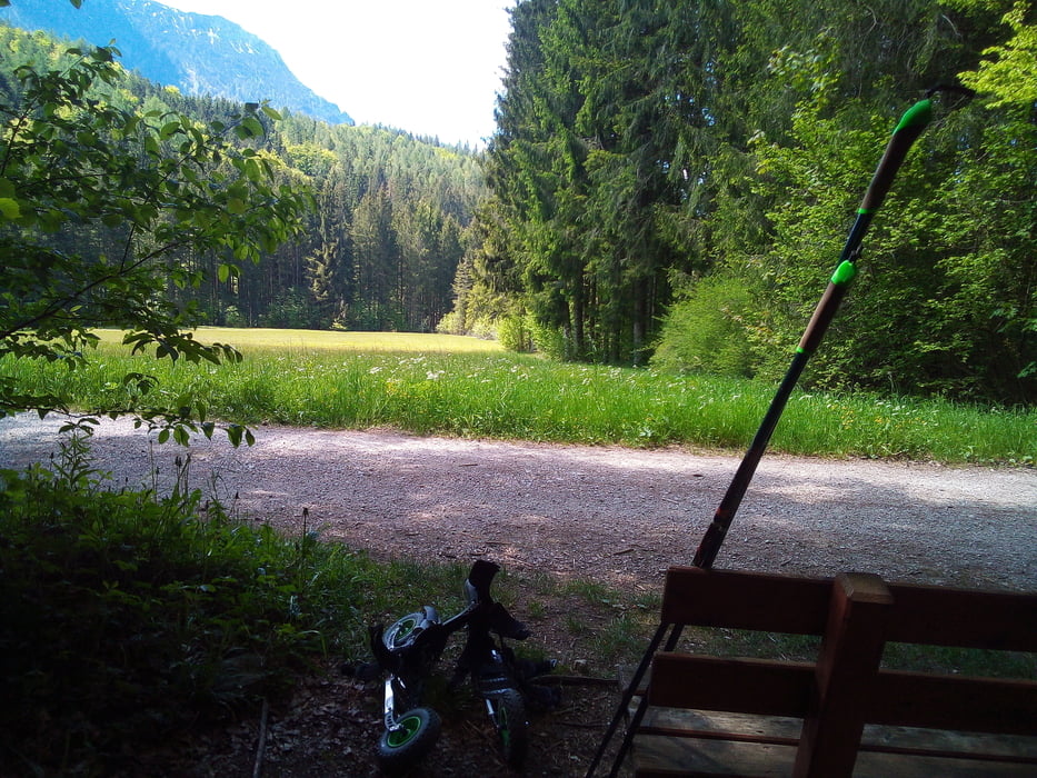
Zwar verläuft die Tour überwiegend auf asphaltierten Radwegen und Nebenstraßen. Jedoch kann diese aufgrund eines Teilstücks zwischen Ruhpolding und Inzell m. E. nur mit 8 Zoll-Rädern bewältigt werden. Angesichts Streckenbeschaffenheit und Anstieg mußte ich dort meine Skikes auf einer kurzen Strecke (ca. 500 m) ausziehen. Ansonsten ist es eine gut zu laufende und sehr schöne Strecke.
Einschränkungen
This tour has a carry or push section on 0.5 kilometers
Galerija izletov
Zemljevid in višinski profil izleta
Minimum height 607 m
Maximum height 887 m
Komentarji

Einschränkungen
This tour has a carry or push section on 0.5 kilometers
Poti GPS
Trackpoints-
GPX / Garmin Map Source (gpx) download
-
TCX / Garmin Training Center® (tcx) download
-
CRS / Garmin Training Center® (crs) download
-
Google Earth (kml) download
-
G7ToWin (g7t) download
-
TTQV (trk) download
-
Overlay (ovl) download
-
Fugawi (txt) download
-
Kompass (DAV) Track (tk) download
-
List z izleti (pdf) download
-
Original file of the author (gpx) download
Add to my favorites
Remove from my favorites
Edit tags
Open track
My score
Rate


