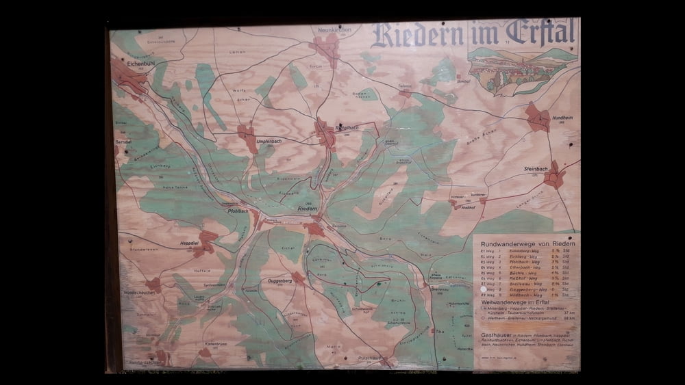
Rundwanderweg von Riedern startend über Golfplatz Guggenberg:
Empfehlung: Am Besten läuft man als erstes Richtung Pfohlbach. Dann steigt der Weg gleichmäßig bis zur Guggenbergerhöhe. Wenn man in Guggenberg angekommen ist, lohnt sich ein kleiner Abstecher zum Golfplatz. Von dort hat man einen wunderbaren Ausblick auf das Erftal Richtung Eichenbühl.
Zemljevid in višinski profil izleta
Minimum height 195 m
Maximum height 418 m
Komentarji

Poti GPS
Trackpoints-
GPX / Garmin Map Source (gpx) download
-
TCX / Garmin Training Center® (tcx) download
-
CRS / Garmin Training Center® (crs) download
-
Google Earth (kml) download
-
G7ToWin (g7t) download
-
TTQV (trk) download
-
Overlay (ovl) download
-
Fugawi (txt) download
-
Kompass (DAV) Track (tk) download
-
List z izleti (pdf) download
-
Original file of the author (gpx) download
Add to my favorites
Remove from my favorites
Edit tags
Open track
My score
Rate


