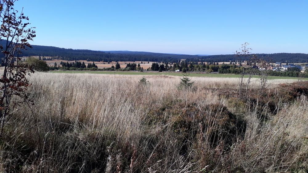
Wir starten in Oberwiesenthal und schlängeln uns durch tolle Landschaften.
Es bedarf keiner weiteren Beschreibung.
Machen.
Ein Besuch des Restaurantes Pöhlberg und des Cafes Roscher unbedingt einplanen.
Galerija izletov
Zemljevid in višinski profil izleta
Minimum height 533 m
Maximum height 1140 m
Komentarji

Poti GPS
Trackpoints-
GPX / Garmin Map Source (gpx) download
-
TCX / Garmin Training Center® (tcx) download
-
CRS / Garmin Training Center® (crs) download
-
Google Earth (kml) download
-
G7ToWin (g7t) download
-
TTQV (trk) download
-
Overlay (ovl) download
-
Fugawi (txt) download
-
Kompass (DAV) Track (tk) download
-
List z izleti (pdf) download
-
Original file of the author (gpx) download
Add to my favorites
Remove from my favorites
Edit tags
Open track
My score
Rate


