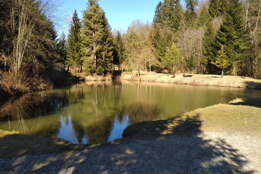
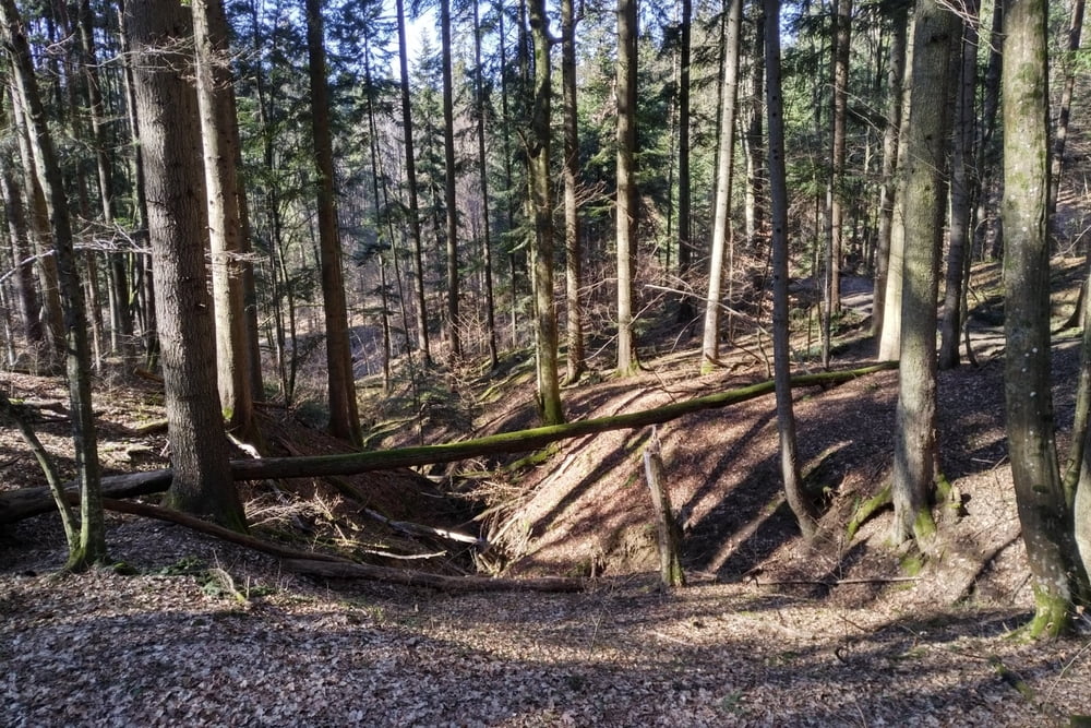
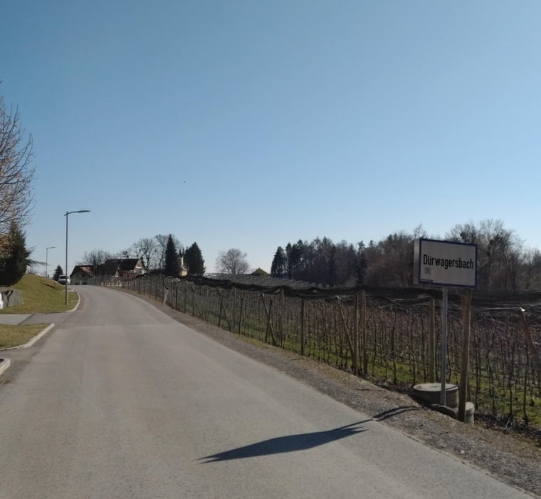
Einfache Spaziermöglichkeit im Südosten von Graz.
Runde lässt sich auch Verlängern oder in anderer Variante gehen.
Runde lässt sich auch Verlängern oder in anderer Variante gehen.
Galerija izletov
Zemljevid in višinski profil izleta
Minimum height 99999 m
Maximum height -99999 m
Komentarji

Buslinie 76U bis Gasthaus Hammerl.
Falls in der Gasse keine gute Parkmöglichkeit besteht, gibt es beim Kreisverkehr an der Tesla-Straße einen Parkplatz.
Poti GPS
Trackpoints-
GPX / Garmin Map Source (gpx) download
-
TCX / Garmin Training Center® (tcx) download
-
CRS / Garmin Training Center® (crs) download
-
Google Earth (kml) download
-
G7ToWin (g7t) download
-
TTQV (trk) download
-
Overlay (ovl) download
-
Fugawi (txt) download
-
Kompass (DAV) Track (tk) download
-
List z izleti (pdf) download
-
Original file of the author (gpx) download
Add to my favorites
Remove from my favorites
Edit tags
Open track
My score
Rate


