
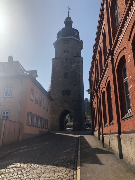

Von Erfurt aus ging es heute bei schönstem Wetter über den Alteburgturm, das Felseck, den Königsstuhl, den Jungfernsprung und das Böhlersloch ins Jonastal. Den Trail dort wollte ich mir schon länger mal ansehen. Von dort aus erfolgte der Aufstieg über Gossel und die Ebanotte zum Haartberg. Der Heimweg führte mich über Siegelbach und die Große Luppe zur Bachschleife am Kirschberg.
Was soll ich sagen? Die Trails waren prima und haben Spaß gemacht.
Was soll ich sagen? Die Trails waren prima und haben Spaß gemacht.
Galerija izletov


Zemljevid in višinski profil izleta
Minimum height 199 m
Maximum height 520 m
More about the tour author

|
_torsten_ |
Komentarji

Poti GPS
Trackpoints-
GPX / Garmin Map Source (gpx) download
-
TCX / Garmin Training Center® (tcx) download
-
CRS / Garmin Training Center® (crs) download
-
Google Earth (kml) download
-
G7ToWin (g7t) download
-
TTQV (trk) download
-
Overlay (ovl) download
-
Fugawi (txt) download
-
Kompass (DAV) Track (tk) download
-
List z izleti (pdf) download
-
Original file of the author (gpx) download
More about the tour author
|
|
_torsten_ |
Add to my favorites
Remove from my favorites
Edit tags
Open track
My score
Rate