


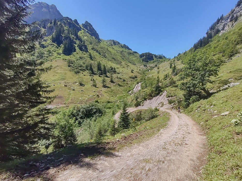
Die Auffahrt ist sehr steil, ich musste einiges schieben. Der Weg ist in sehr gutem Zustand und daher technisch einfach "nur" die Steigung ist anspruchsvoll.
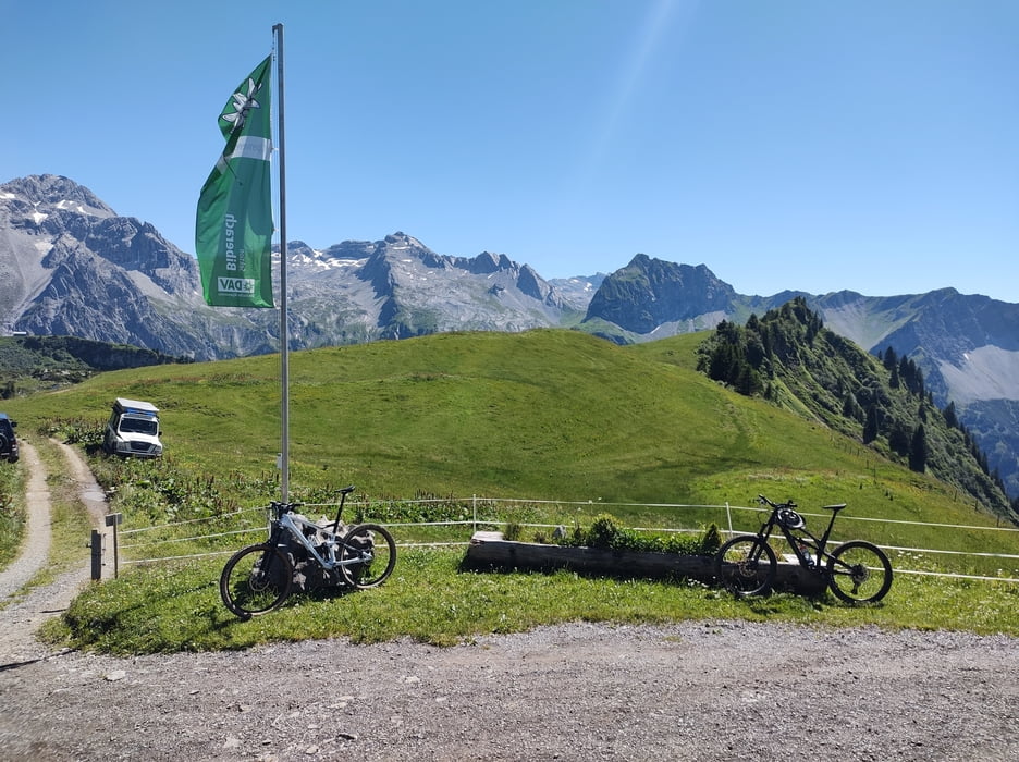
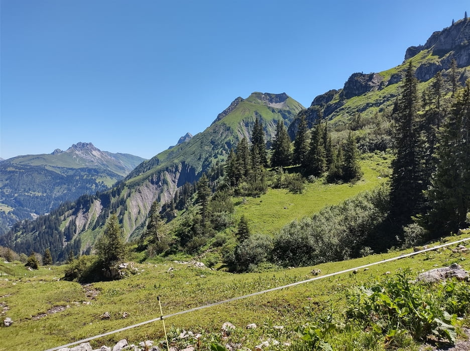
Die Landschaft ist wunderschön. Die Hütte ist erstklassig bewirtschaftet. Auf der Terrasse kann man das Leben genießen.
Abfahrt auf dem gleichen Weg wie die Auffahrt. Steil, Schotter - wenig interessant.
Wer sich die Plagerei bei der Auf(fahrt) noch antun möchte sollte eher wandern. Die geniale Landschaft und die Hütte lohnen aber einen Besuch.
Einschränkungen
This tour has a carry or push section on 2 kilometers
Galerija izletov
Zemljevid in višinski profil izleta
Minimum height 1078 m
Maximum height 1850 m
More about the tour author

|
Christi0012 |
Komentarji

Parken an der Bundesstraße zwischen Bad Hopfreben und Unterboden. Es ist Platz zum Parken da, kann an beliebten Wandertagen aber knapp werden.
Einschränkungen
This tour has a carry or push section on 2 kilometers
Poti GPS
Trackpoints-
GPX / Garmin Map Source (gpx) download
-
TCX / Garmin Training Center® (tcx) download
-
CRS / Garmin Training Center® (crs) download
-
Google Earth (kml) download
-
G7ToWin (g7t) download
-
TTQV (trk) download
-
Overlay (ovl) download
-
Fugawi (txt) download
-
Kompass (DAV) Track (tk) download
-
List z izleti (pdf) download
-
Original file of the author (gpx) download
More about the tour author
|
|
Christi0012 |
Add to my favorites
Remove from my favorites
Edit tags
Open track
My score
Rate