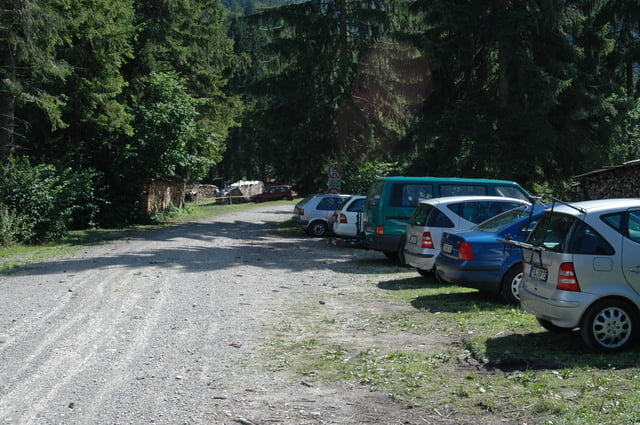
Schöne Tour mit langer teilweise auch steiler Auffahrt....sehr empfehlenswert ist noch der Gang bis zum Gipfel (ca. ne halbe Stunde Fussmarsch) wird belohnt mit einer Traumaussicht.
Galerija izletov
Zemljevid in višinski profil izleta
Minimum height 684 m
Maximum height 1651 m
Komentarji

Poti GPS
Trackpoints-
GPX / Garmin Map Source (gpx) download
-
TCX / Garmin Training Center® (tcx) download
-
CRS / Garmin Training Center® (crs) download
-
Google Earth (kml) download
-
G7ToWin (g7t) download
-
TTQV (trk) download
-
Overlay (ovl) download
-
Fugawi (txt) download
-
Kompass (DAV) Track (tk) download
-
List z izleti (pdf) download
-
Original file of the author (gpx) download
Add to my favorites
Remove from my favorites
Edit tags
Open track
My score
Rate


