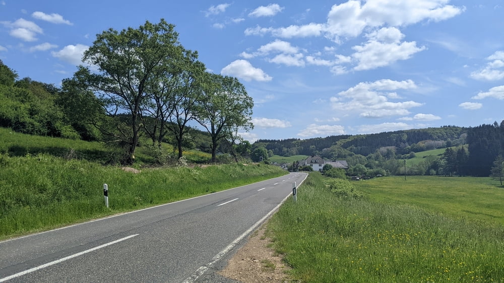
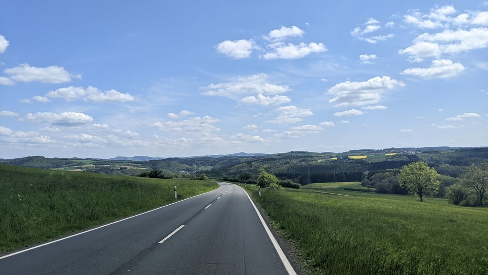
- Durchweg guter Asphalt
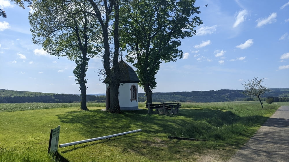
- Viele Wirtschaftswege
- Wenig Landstrasse
- Gut ausgebaute und unbeschädigte Radwege
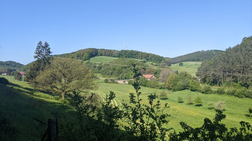
- Tolle Landschaft
- ACHTUNG: ENTLANG DER STRECKE GIBT ES KEINE VERPFLEGUNGSMÖGLICHKEITEN (Bäcker, Kiosk o.ä)
- Die Gaststätten haben zumeist nur ab dem späten Nachmittag geöffnet
Galerija izletov
Zemljevid in višinski profil izleta
Minimum height 220 m
Maximum height 557 m
Komentarji

Parkmöglichkeit im Industriegebiet (50.625276, 6.715902)
Poti GPS
Trackpoints-
GPX / Garmin Map Source (gpx) download
-
TCX / Garmin Training Center® (tcx) download
-
CRS / Garmin Training Center® (crs) download
-
Google Earth (kml) download
-
G7ToWin (g7t) download
-
TTQV (trk) download
-
Overlay (ovl) download
-
Fugawi (txt) download
-
Kompass (DAV) Track (tk) download
-
List z izleti (pdf) download
-
Original file of the author (gpx) download
Add to my favorites
Remove from my favorites
Edit tags
Open track
My score
Rate


