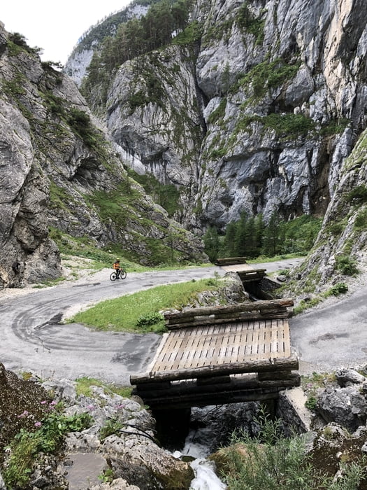
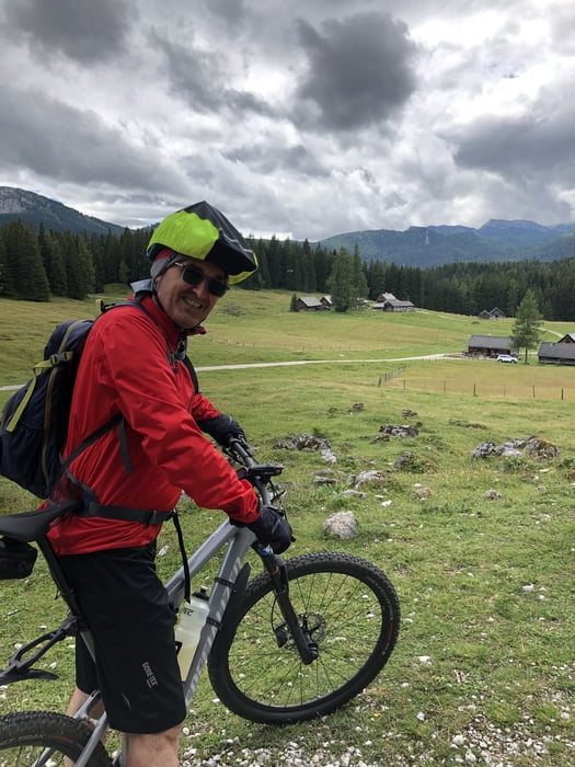
Tag 4 der Dachsteinumrundung. Tag 3 (Gosau-Bad Aussee) fuhren wir auf kürzester Strecke in strömenden Regen. Ab km 11 weiter der Forststraße folgen und nicht dem Track. Wir hatten uns durch ein falsch aufgestelltes Dachsteinrunde Schild in die Irre leiten lassen. Die Abfahrt durch die "Hölle" ist zwar auf Asphalt - aber trotzdem spektakulär!
Galerija izletov
Zemljevid in višinski profil izleta
Minimum height 652 m
Maximum height 1470 m
Komentarji

Poti GPS
Trackpoints-
GPX / Garmin Map Source (gpx) download
-
TCX / Garmin Training Center® (tcx) download
-
CRS / Garmin Training Center® (crs) download
-
Google Earth (kml) download
-
G7ToWin (g7t) download
-
TTQV (trk) download
-
Overlay (ovl) download
-
Fugawi (txt) download
-
Kompass (DAV) Track (tk) download
-
List z izleti (pdf) download
-
Original file of the author (gpx) download
Add to my favorites
Remove from my favorites
Edit tags
Open track
My score
Rate


