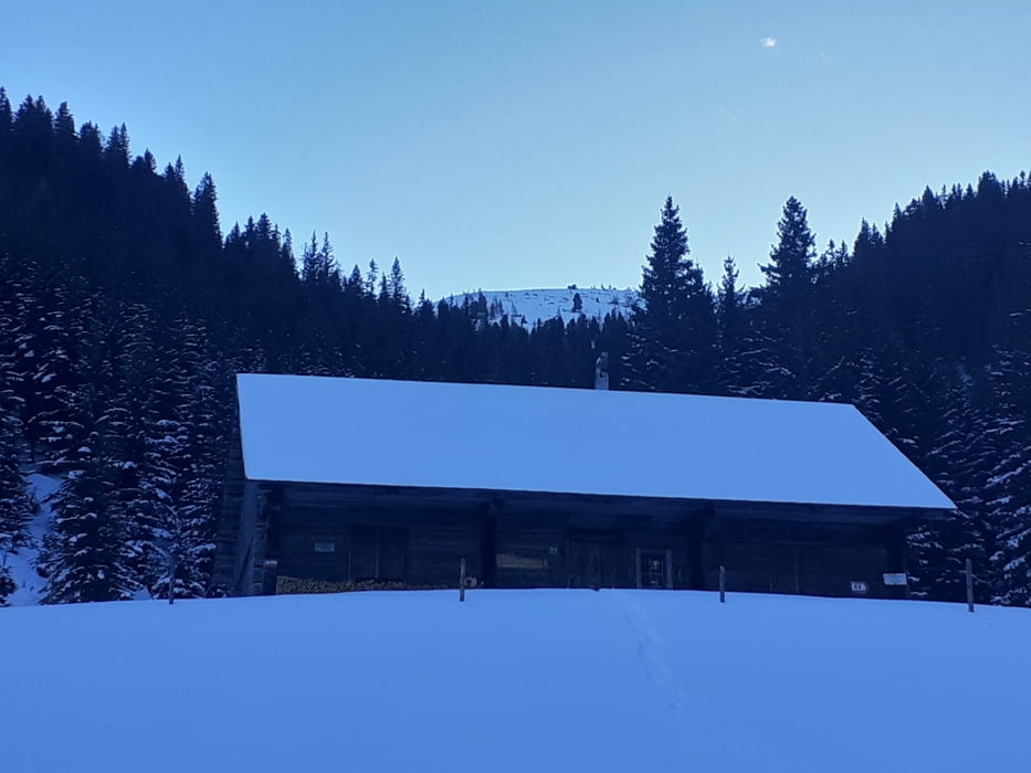
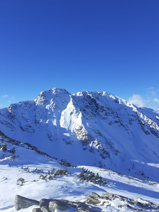
Vom ehem. GH Braun über die Wiese zur Kälberhütte und weiter ins obere Braunkar. Am Gipfelhang bis zum schmucklosen, aber aussichtsreichen Triebenkogel. Für den Aufstieg sind meist Spuren vorhanden. Verschiedene Möglichkeiten. Abstieg annähernd am Anstiegsweg.
Galerija izletov
Zemljevid in višinski profil izleta
Minimum height 1154 m
Maximum height 2083 m
Komentarji

Auf der A9 Pyhrnautobahn bis zur Abfahrt Trieben. Richtung Hohentauern bis zum GH Brodjäger. Unmittelbar danach links ins Triebental bis zum Parkplatz bei ehemaligen Gasthof Braun.
Poti GPS
Trackpoints-
GPX / Garmin Map Source (gpx) download
-
TCX / Garmin Training Center® (tcx) download
-
CRS / Garmin Training Center® (crs) download
-
Google Earth (kml) download
-
G7ToWin (g7t) download
-
TTQV (trk) download
-
Overlay (ovl) download
-
Fugawi (txt) download
-
Kompass (DAV) Track (tk) download
-
List z izleti (pdf) download
-
Original file of the author (gpx) download
Add to my favorites
Remove from my favorites
Edit tags
Open track
My score
Rate


