


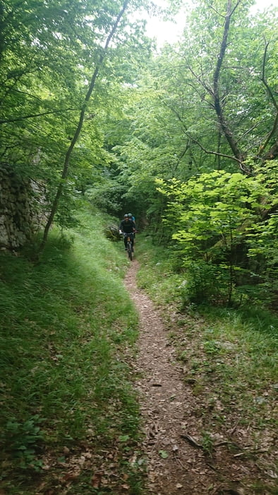
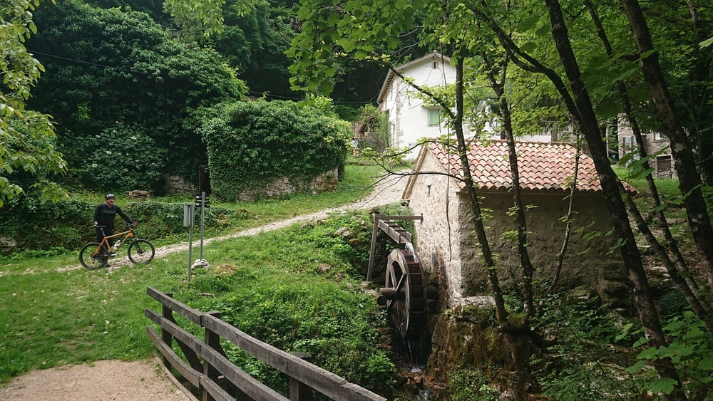
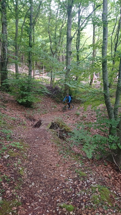
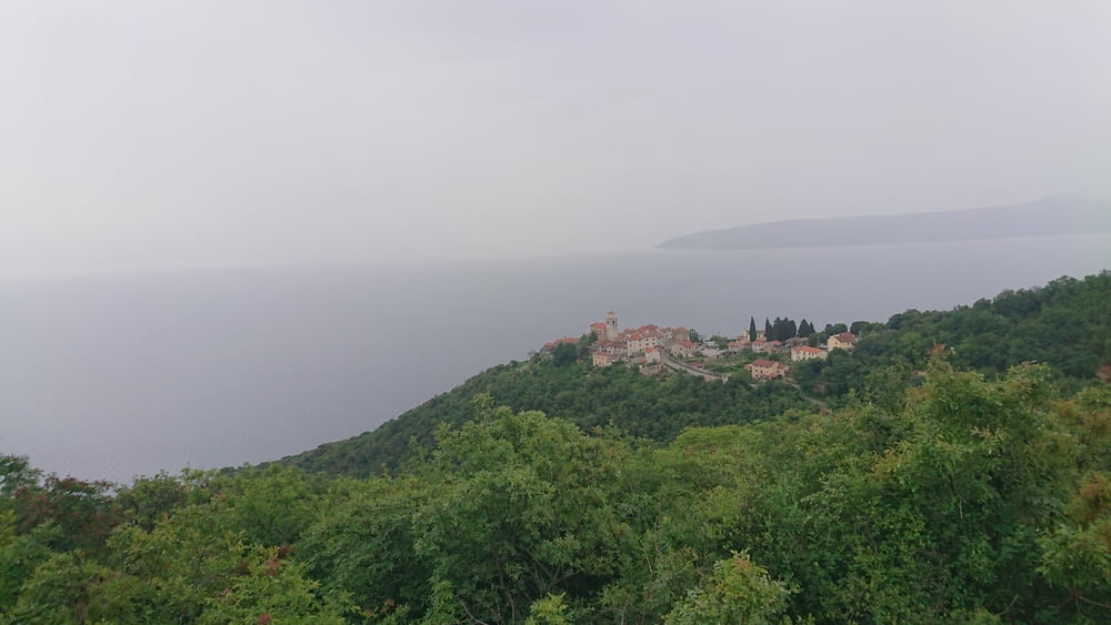
Von Moscenicka Draga auf Asphalt ansteigend Richtung Sveti Anton. Rechts abbiegen und Richtung Sucici auf Asphalt und bergauf. An Sucici vorbei weiter nach Draga auf teils sehr steilen Betonrampen bis es abflacht und bei einer Kreuzung links kurz etwas bergab geht. Ab den letzten Häusern führt der Weg als netter Singletrail zum Talschluss in das Mühlendorf Trebisca. Von dort auf einem wunderbaren Trail mit einigen wenigen steinigen Passagen in Summe leicht abfallend bis nach Moscenice. Die letzten km dann wieder auf einer Straße. Nette kurze Runde mit knackigem Anstieg und flowigen Trails.
Galerija izletov
Zemljevid in višinski profil izleta
Minimum height 32 m
Maximum height 435 m
More about the tour author
|
|
booble9 |
Komentarji

Poti GPS
Trackpoints-
GPX / Garmin Map Source (gpx) download
-
TCX / Garmin Training Center® (tcx) download
-
CRS / Garmin Training Center® (crs) download
-
Google Earth (kml) download
-
G7ToWin (g7t) download
-
TTQV (trk) download
-
Overlay (ovl) download
-
Fugawi (txt) download
-
Kompass (DAV) Track (tk) download
-
List z izleti (pdf) download
-
Original file of the author (gpx) download
More about the tour author
|
|
booble9 |
Add to my favorites
Remove from my favorites
Edit tags
Open track
My score
Rate