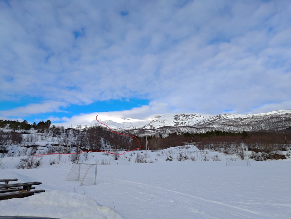
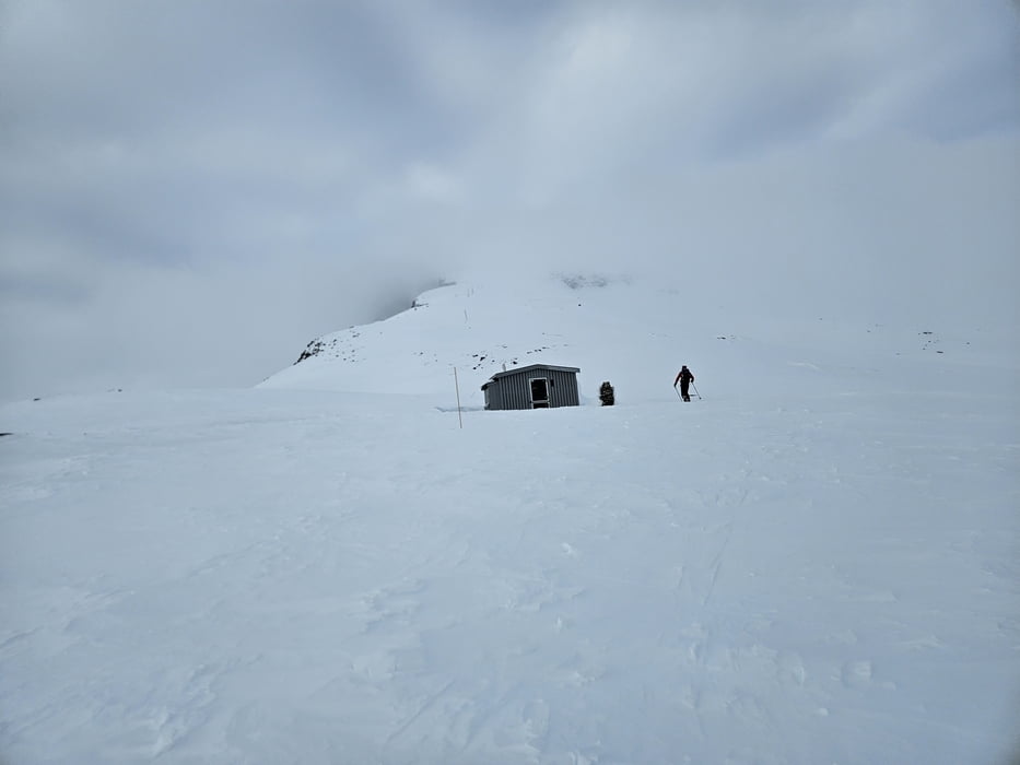
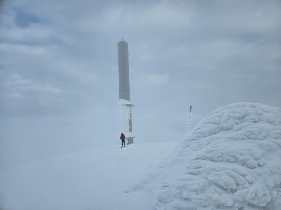
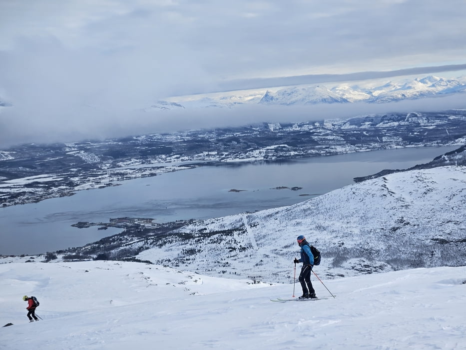
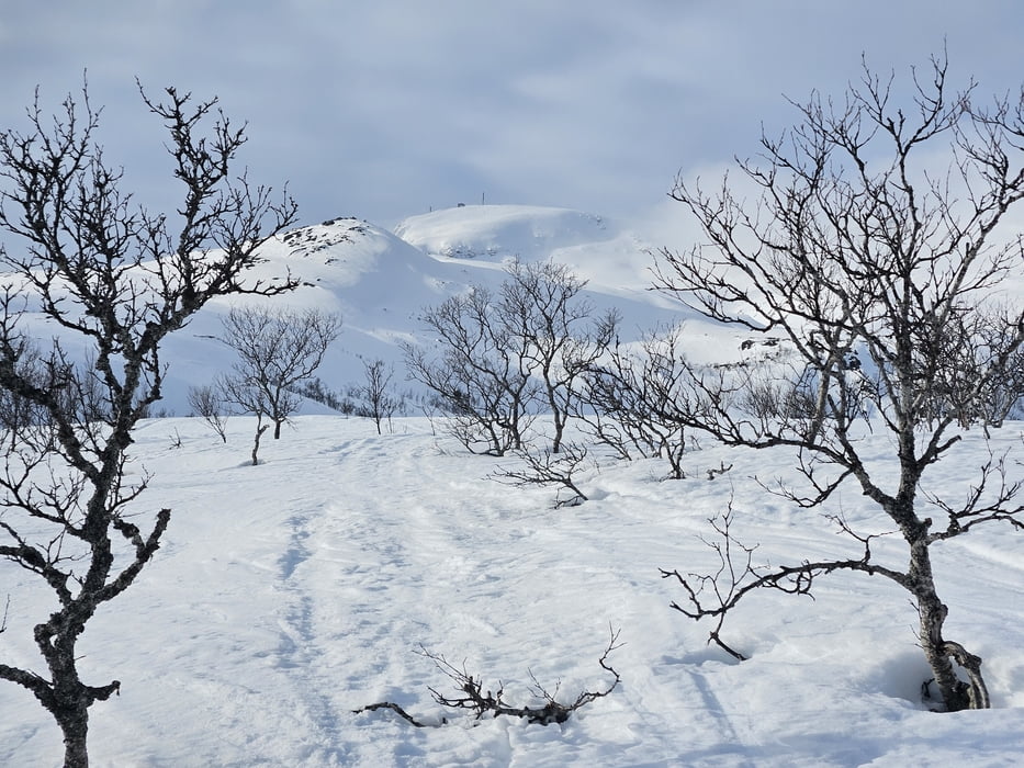
Unsere Letzte tour auf der Rückreise. Gut auch als Eingehtour geeignet. Vom Sportplatz zunächst die Langlaufloipe entlang und weiter über den seichten Rücken zu Militärhütte. Dann weiter über den Rücken auf die Stangenmarkierungen zu. Nicht zu weit links halten, da dort Abbrüche und bis zu 30° steil hinauf zum Gipfel wo Militärgebäude etwas Windschutz bieten-
Galerija izletov
Zemljevid in višinski profil izleta
Minimum height 15 m
Maximum height 1139 m
Komentarji

von Narvik auf der E10 zur Insel Hinnøya und ca. 10 km nach Süden nach Arbogen. Hier abbiegen un dzu PP am Fußballplatz
Poti GPS
Trackpoints-
GPX / Garmin Map Source (gpx) download
-
TCX / Garmin Training Center® (tcx) download
-
CRS / Garmin Training Center® (crs) download
-
Google Earth (kml) download
-
G7ToWin (g7t) download
-
TTQV (trk) download
-
Overlay (ovl) download
-
Fugawi (txt) download
-
Kompass (DAV) Track (tk) download
-
List z izleti (pdf) download
-
Original file of the author (gpx) download
Add to my favorites
Remove from my favorites
Edit tags
Open track
My score
Rate

