

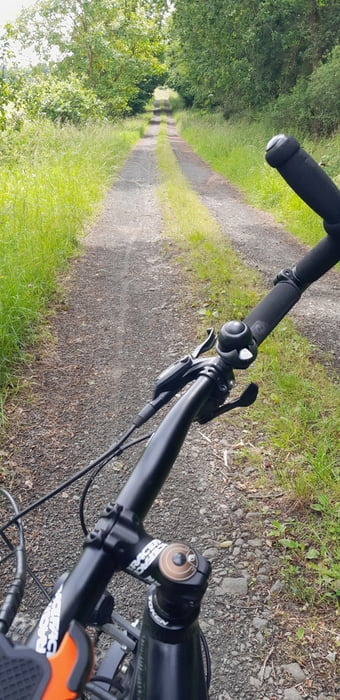
Sehr einfache aber interessante Tour. Da die Wege überwiegend auf asphaltierten bzw geschotterten Wald- und Wirtschaftswegen verläuft, sollte sie auch mit einem Treckingrad machbar sein.
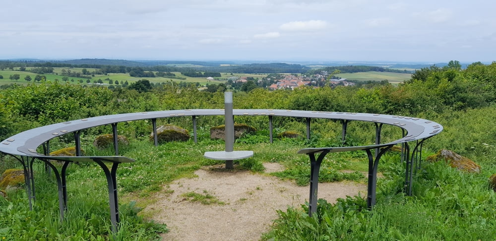
Der Anstieg zum Totenköppel fordert Kraft und Kondition. Oben winkt jedoch ein schöner Ausblick und danach geht's dann auch nur noch bergab.
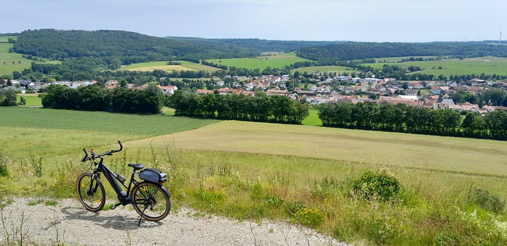
Nur zwei kurze Strecken sind auf der wenig befahrenen Landstraße zu bewältigen.
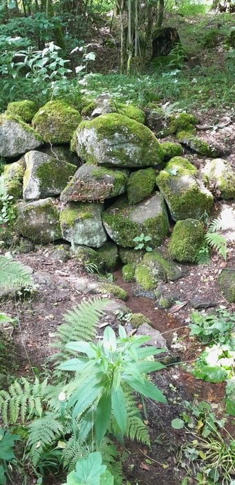
An der Quelle gibt es eine schöne Möglichkeit für ein Picknick.
Galerija izletov
Zemljevid in višinski profil izleta
Minimum height 332 m
Maximum height 578 m
More about the tour author

|
agrupe |
Komentarji

Start und Ende der Tour ist der Wohnmobil Stellplatz in Storndorf. Im den Platz herum gibt es ausreichend Möglichkeiten, einen PKW abzustellen
Poti GPS
Trackpoints-
GPX / Garmin Map Source (gpx) download
-
TCX / Garmin Training Center® (tcx) download
-
CRS / Garmin Training Center® (crs) download
-
Google Earth (kml) download
-
G7ToWin (g7t) download
-
TTQV (trk) download
-
Overlay (ovl) download
-
Fugawi (txt) download
-
Kompass (DAV) Track (tk) download
-
List z izleti (pdf) download
-
Original file of the author (gpx) download
More about the tour author
|
|
agrupe |
Add to my favorites
Remove from my favorites
Edit tags
Open track
My score
Rate