
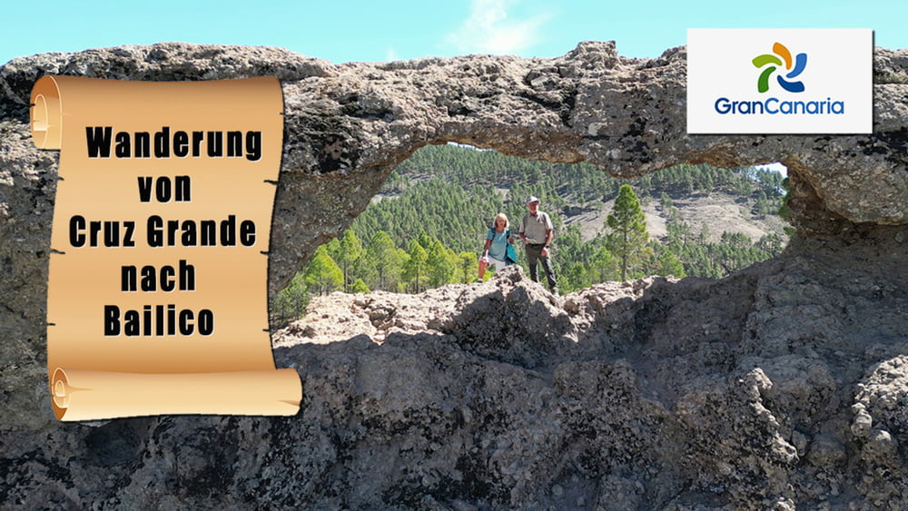

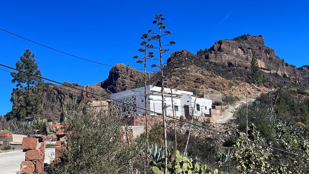
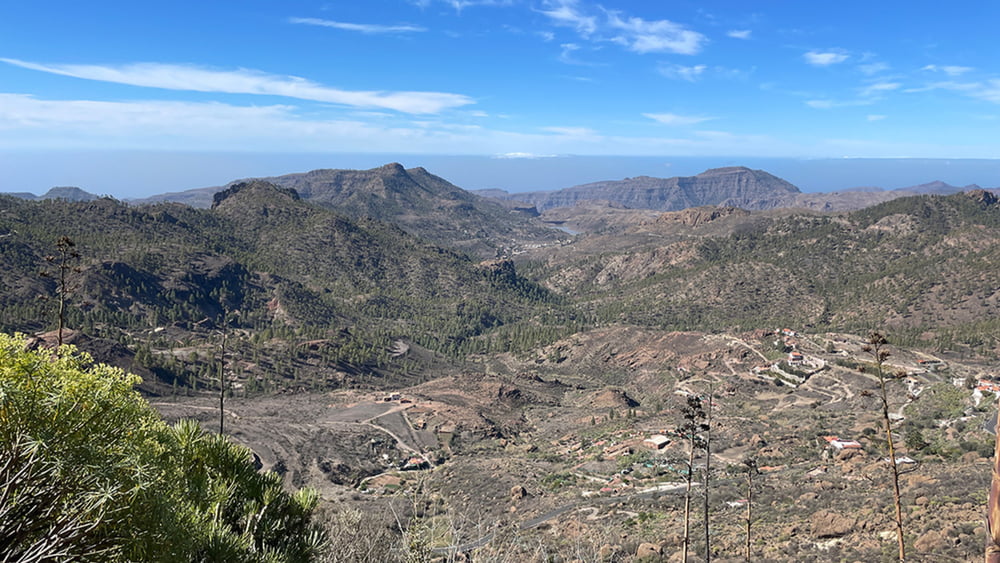
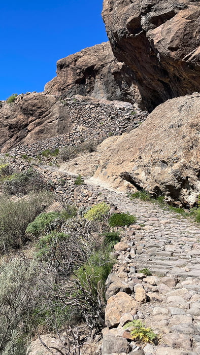
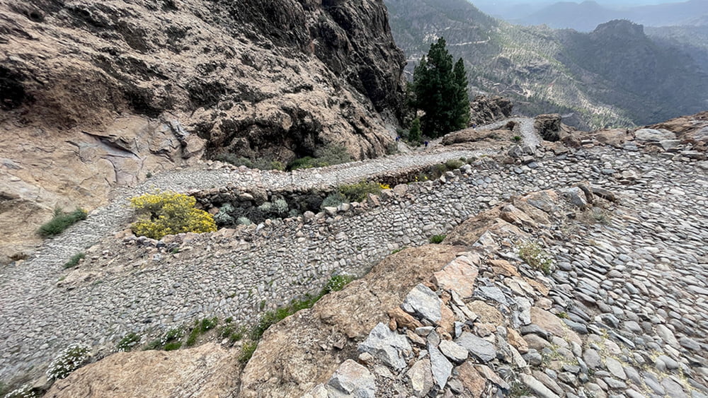
Vom Parkplatz folgen wir nur wenige Meter der GC 60, und nehmen dann die aufwärtsführende Betonpiste. Über einen Felsenpfad geht es auf die Westseite vom Morro de la Conejera. Was folgt ist ein Aufstieg über den wunderschön angelegten Serpentinenpfad Camino Real, der zu den beiden Stauseen Charco Hondo hinaufführt. Über die Hochebene Llanos de Pargana führt die Wanderung in ein Waldstück hinein, das wir hin zum Ventana del Nublo verlassen, um einen Blick hinüber zum Rocque Nublo zu werfen. Wieder zurück auf unserem Weg geht es weiter Bergan bis zum Pass de los Homos. An dem wir die Wanderung beendeten und zum Ausgangspunkt zurückliefen.
Galerija izletov
Zemljevid in višinski profil izleta
Minimum height 1189 m
Maximum height 1733 m
More about the tour author
|
|
schleidy |
Komentarji

Poti GPS
Trackpoints-
GPX / Garmin Map Source (gpx) download
-
TCX / Garmin Training Center® (tcx) download
-
CRS / Garmin Training Center® (crs) download
-
Google Earth (kml) download
-
G7ToWin (g7t) download
-
TTQV (trk) download
-
Overlay (ovl) download
-
Fugawi (txt) download
-
Kompass (DAV) Track (tk) download
-
List z izleti (pdf) download
-
Original file of the author (gpx) download
More about the tour author
|
|
schleidy |
Add to my favorites
Remove from my favorites
Edit tags
Open track
My score
Rate