
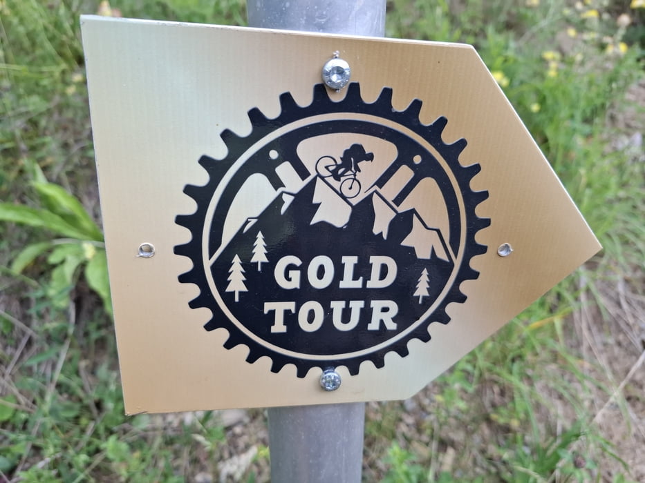

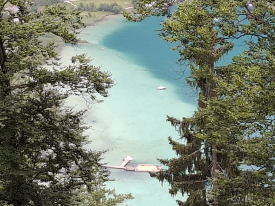
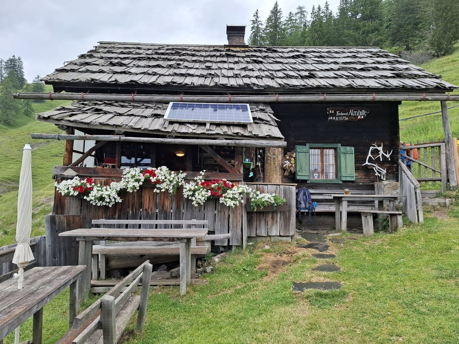
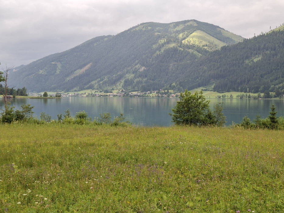
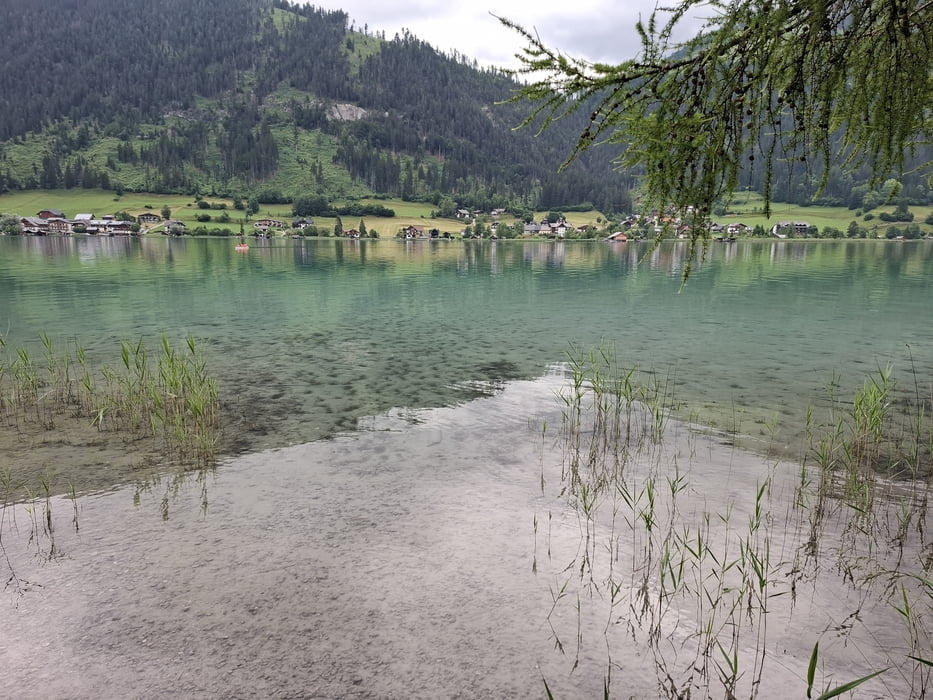
Sehr schöne Runde um den Weißensee mit einigen Einkehrmöglichkeiten (Alm hinterm Brunn, Techendorfer Alm, Fischer Alm, Hermagorer Bodenalm). Die Wegbeschaffenheit ist durchwegs angenehm. Kurze Schiebepassage nach dem Ostufer. Neuerdings ist diese Hüttentour als Goldtour ausgeschildert, angeblich fehlt bei dieser Runde nur die Naggler Alm.
Einschränkungen
This tour has a carry or push section on 0.4 kilometers
Galerija izletov
Zemljevid in višinski profil izleta
Minimum height 918 m
Maximum height 1569 m
More about the tour author
|
|
mitter |
Komentarji

Start und Ziel in Gatschach.
Einschränkungen
This tour has a carry or push section on 0.4 kilometers
Poti GPS
Trackpoints-
GPX / Garmin Map Source (gpx) download
-
TCX / Garmin Training Center® (tcx) download
-
CRS / Garmin Training Center® (crs) download
-
Google Earth (kml) download
-
G7ToWin (g7t) download
-
TTQV (trk) download
-
Overlay (ovl) download
-
Fugawi (txt) download
-
Kompass (DAV) Track (tk) download
-
List z izleti (pdf) download
-
Original file of the author (gpx) download
More about the tour author
|
|
mitter |
Add to my favorites
Remove from my favorites
Edit tags
Open track
My score
Rate