Login

Si pozabil/a podatke za prijavo?

Cookies have to be accepted!
Your browser's cookie functionality is disabled. Please enable this functionality.

Not a member yet?

Register now
Login

Available for registred users only

Log in to use this feature.

Si pozabil/a podatke za prijavo?

Cookies have to be accepted!
Your browser's cookie functionality is disabled. Please enable this functionality.

Not a member yet?

Register now
Filter
Kategorije
Advanced filters
  • Dolžina (km)
  • Metri nadmorske višine
Shrani filter Reset filter

TrackRank

QRCode

Technical data

Dolžina67,3 km Metri nadmorske višine1858 m Way down1828 m Trajanje03:00 h:m Datum22.08.2024
Ocene Author Pokrajina Dejavnik zabave Kondicija Tehnika

Statistika

70 Pogledi Ocene 0 Prenosi Povprečje
Rate
  • List z izleti
  • Prihod
  • Prenosi
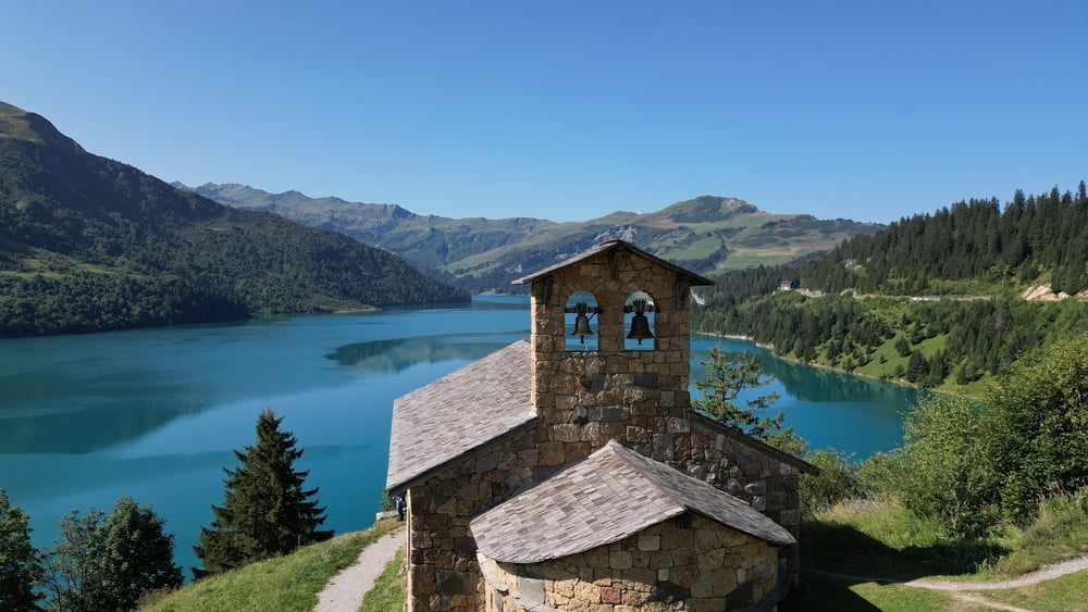
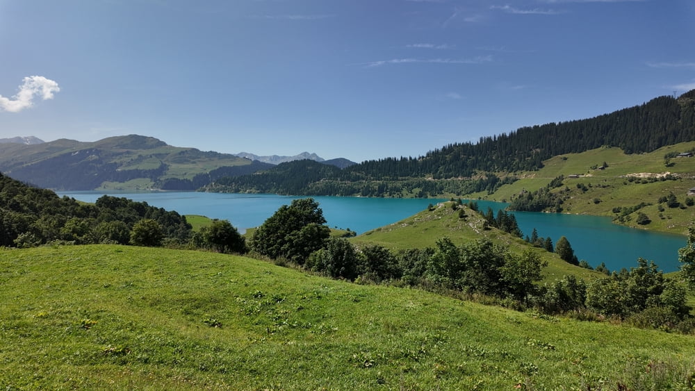
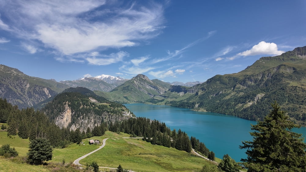
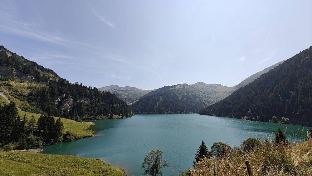
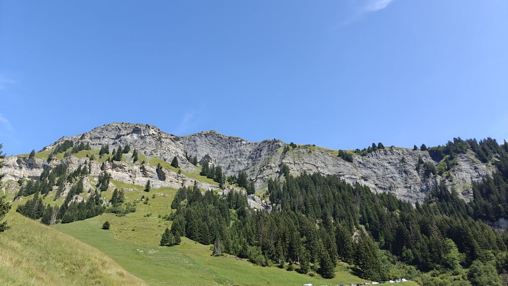
Kleine maar mooie tocht door de regio van de Roselend.
Neem tijd om te genieten van de uitzichtspunten.
Op verschillende plaatsen vinde je horecapunten.

Galerija izletov

Zemljevid in višinski profil izleta

  • Open Street Map
  • Google
Minimum height 511 m Maximum height 1723 m Prikaz podrobnosti

More about the tour author

ikkel
Member since 2009

Send private message

Komentarji

Poti GPS

Trackpoints
  • GPX / Garmin Map Source (gpx) download
  • TCX / Garmin Training Center® (tcx) download
  • CRS / Garmin Training Center® (crs) download
  • Google Earth (kml) download
  • G7ToWin (g7t) download
  • TTQV (trk) download
  • Overlay (ovl) download
  • Fugawi (txt) download
  • Kompass (DAV) Track (tk) download
  • List z izleti (pdf) download
  • Original file of the author (gpx) download

More about the tour author

ikkel
Member since 2009

Send private message
Share track
Add to my favorites
Remove from my favorites
Edit tags
My score
Rate
Izlet: Lac de Roselend
Vrsta: Motorno kolo
Dolžina: 67,3 km
Evaluated on:
Trajanje:
Day(s)
Hour(s)
Minute(s)
Ocena: Pokrajina Dejavnik zabave Kondicija Tehnika