
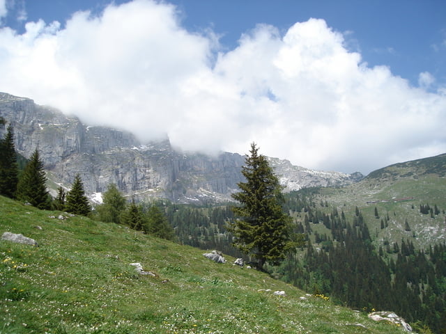

Anfahrt über Münster, den Forstweg hinauf Richtung Bayreuther Hütte. Von der Bayreuther Hütte geht es zunächst wieder am selben Weg zurück bis zum Weiderost, da geht es dann links Richtung Plezachalm; ich habe mir noch einen kleinen Abstecher zum Pletzachkogel gegöhnt, aber man versäumt nichts; mit dem Fahren ist es nach der Hochalm vorbei, jetzt ist für 2km und 60hm tragen bzw. schieben angesagt; Ab der Kreuzeinalm geht es wieder weiter mit auf dem breiten Forstweg Richtung Labeggalm; bei Brandl habe ich mich dann für den Wanderweg entschieden und bin den bis zum Gasthof Haaser gefolgt; Hier geht es weiter Richtung Burgstall, abwärts bis nach Kramsach;
Galerija izletov

Zemljevid in višinski profil izleta
Minimum height 536 m
Maximum height 1624 m
More about the tour author

|
rabittom |
Komentarji

Poti GPS
Trackpoints-
GPX / Garmin Map Source (gpx) download
-
TCX / Garmin Training Center® (tcx) download
-
CRS / Garmin Training Center® (crs) download
-
Google Earth (kml) download
-
G7ToWin (g7t) download
-
TTQV (trk) download
-
Overlay (ovl) download
-
Fugawi (txt) download
-
Kompass (DAV) Track (tk) download
-
List z izleti (pdf) download
-
Original file of the author (gpx) download
More about the tour author
|
|
rabittom |
Add to my favorites
Remove from my favorites
Edit tags
Open track
My score
Rate