Login

Si pozabil/a podatke za prijavo?

Cookies have to be accepted!
Your browser's cookie functionality is disabled. Please enable this functionality.

Not a member yet?

Register now
Login

Available for registred users only

Log in to use this feature.

Si pozabil/a podatke za prijavo?

Cookies have to be accepted!
Your browser's cookie functionality is disabled. Please enable this functionality.

Not a member yet?

Register now
Filter
Kategorije
Advanced filters
  • Dolžina (km)
  • Metri nadmorske višine
Shrani filter Reset filter

TrackRank

QRCode

Technical data

Dolžina26,8 km Metri nadmorske višine1013 m Way down974 m Trajanje04:00 h:m Datum24.07.2008
Ocene Author Pokrajina Dejavnik zabave Kondicija Tehnika

Statistika

1933 Pogledi Ocene 280 Prenosi Povprečje
Rate
  • List z izleti
  • Prihod
  • Prenosi

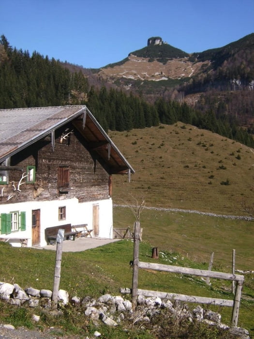
Die Runde kann an vielen Stellen begonnen werden. Ich parke immer bei der Schule in Adnet und fahre entgegen dem Uhrzeigersinn. Von der Schlenkenalm kann man die 300 HM zum Gipfel in einer halben Stunde bewälltigen. Die Abfahrt endet direkt am Auto.

Diese Tour ist, jetzt nur noch teilweise, mit weiß-blauen Wegweisern (Schenkenrunde) ausgeschildert.

Further information at

http://www.dav-teisendorf.de/alhet/alhet403.htm

Galerija izletov

Zemljevid in višinski profil izleta

  • Open Street Map
  • Google
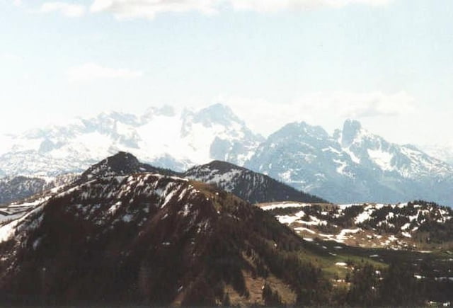
Minimum height 470 m Maximum height 1411 m Prikaz podrobnosti

More about the tour author

herzi
Member since 2008

Send private message

Komentarji

Poti GPS

Trackpoints
  • GPX / Garmin Map Source (gpx) download
  • TCX / Garmin Training Center® (tcx) download
  • CRS / Garmin Training Center® (crs) download
  • Google Earth (kml) download
  • G7ToWin (g7t) download
  • TTQV (trk) download
  • Overlay (ovl) download
  • Fugawi (txt) download
  • Kompass (DAV) Track (tk) download
  • List z izleti (pdf) download
  • Original file of the author (gpx) download

More about the tour author

herzi
Member since 2008

Send private message
Share track
Add to my favorites
Remove from my favorites
Edit tags
My score
Rate
Izlet: Schlenkenrunde in der Osterhorngruppe, Salzburg
Vrsta: Gorsko kolo
Dolžina: 26,8 km
Evaluated on:
Trajanje:
Day(s)
Hour(s)
Minute(s)
Ocena: Pokrajina Dejavnik zabave Kondicija Tehnika