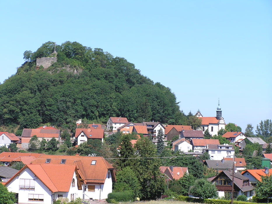
Dieses ist der zweite von 3 Teilen des HWO2, der von Schlitz bis Wasungen insgesamt 96 km lang ist. Genaue Tourenbeschreibung findet man in "Schneiders Rhönführer - Offizieller Führer des Rhönklubs", Verlag Parzeller, erhältlich in den lokalen Buchhandlungen.
Wegen der leichteren Handhabung für das GPS habe ich den HWO2 in drei Teile aufgelgiedert, die man dann z. B. an drei Tagen gehen kann.
Further information at
http://www.parzeller.de/Galerija izletov
Zemljevid in višinski profil izleta
Minimum height 383 m
Maximum height 618 m
Komentarji

Poti GPS
Trackpoints-
GPX / Garmin Map Source (gpx) download
-
TCX / Garmin Training Center® (tcx) download
-
CRS / Garmin Training Center® (crs) download
-
Google Earth (kml) download
-
G7ToWin (g7t) download
-
TTQV (trk) download
-
Overlay (ovl) download
-
Fugawi (txt) download
-
Kompass (DAV) Track (tk) download
-
List z izleti (pdf) download
-
Original file of the author (gpx) download
Add to my favorites
Remove from my favorites
Edit tags
Open track
My score
Rate


