


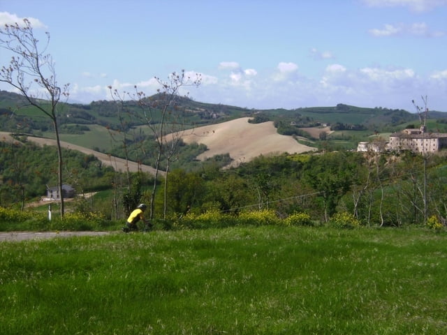
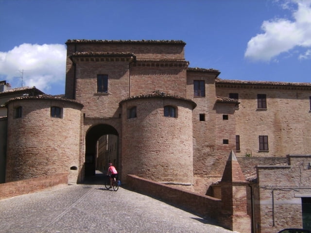
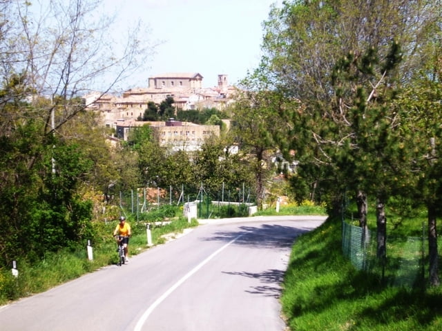
Startpunkt ist in Montelabbate. Zuerst im Ort sehr steile Auffahrt, dann in abwechslungsreichem auf und ab durch eine Bilderbuchlandschaft. Einzelne Ortschaften lohnen einen Besuch und ein längers Verweilen. Auffahrt von Fontecorniale zum Monte S. Bartolo, 555m, Aussicht bis zum Meer. Ab Isola d. Piano dem Track folgend, zum Schluß sehr steiles Schiebestück (30 % Steigung zeigte der Tacho an), dann wieder auf Teerstraßen in einer Art alpiner Landschaft über Hochflächen, ewig lange Abfahrt über La Torre nach Gallo und am Fluß entlang zurück zum Ausgangspunkt.
Die Tour ist auch mit Rennrad möglich, wenn man den Monte S. Bartolo ausläßt und in Isola Del Piano vor der Auffahrt zum Ort nach rechts auf der Via Regina Elena weiterfährt. Man erreicht beim nächsten WP (Strada Scotaneto) wieder die Originalroute. Damit hat man alle Schotterstrecken ausgelassen. Sie bilden jedoch das Herz dieser Rundtour!
Galerija izletov

Zemljevid in višinski profil izleta
Minimum height 31 m
Maximum height 588 m
More about the tour author
|
|
herzi |
Komentarji

Poti GPS
Trackpoints-
GPX / Garmin Map Source (gpx) download
-
TCX / Garmin Training Center® (tcx) download
-
CRS / Garmin Training Center® (crs) download
-
Google Earth (kml) download
-
G7ToWin (g7t) download
-
TTQV (trk) download
-
Overlay (ovl) download
-
Fugawi (txt) download
-
Kompass (DAV) Track (tk) download
-
List z izleti (pdf) download
-
Original file of the author (gpx) download
More about the tour author
|
|
herzi |
Add to my favorites
Remove from my favorites
Edit tags
Open track
My score
Rate