Login

Si pozabil/a podatke za prijavo?

Cookies have to be accepted!
Your browser's cookie functionality is disabled. Please enable this functionality.

Not a member yet?

Register now
Login

Available for registred users only

Log in to use this feature.

Si pozabil/a podatke za prijavo?

Cookies have to be accepted!
Your browser's cookie functionality is disabled. Please enable this functionality.

Not a member yet?

Register now
Filter
Kategorije
Advanced filters
  • Dolžina (km)
  • Metri nadmorske višine
Shrani filter Reset filter

TrackRank

QRCode

Technical data

Dolžina37,6 km Metri nadmorske višine643 m Way down644 m Trajanje02:25 h:m Datum02.08.2008
Ocene Author Pokrajina Dejavnik zabave Kondicija Tehnika

Statistika

364 Pogledi Ocene 102 Prenosi Povprečje
Rate
  • List z izleti
  • Prihod
  • Prenosi
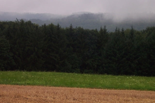
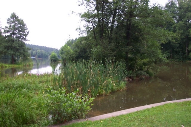
Herrliche Tour mit schönen Ausblicken auf den Schwäbischen Wald.

Galerija izletov

Zemljevid in višinski profil izleta

  • Open Street Map
  • Google
Minimum height 266 m Maximum height 565 m Prikaz podrobnosti

More about the tour author

Mondscheinradler
Member since 2008

Send private message

Komentarji

Start ist in Allmersbach/Tal. Gut mit der S3-Bahn Haltestelle Backnang zu erreichen.

Poti GPS

Trackpoints
  • GPX / Garmin Map Source (gpx) download
  • TCX / Garmin Training Center® (tcx) download
  • CRS / Garmin Training Center® (crs) download
  • Google Earth (kml) download
  • G7ToWin (g7t) download
  • TTQV (trk) download
  • Overlay (ovl) download
  • Fugawi (txt) download
  • Kompass (DAV) Track (tk) download
  • List z izleti (pdf) download
  • Original file of the author (gpx) download

More about the tour author

Mondscheinradler
Member since 2008

Send private message
Share track
Add to my favorites
Remove from my favorites
Edit tags
My score
Rate
Izlet: Rund um den Ebnisee
Vrsta: Treking kolo
Dolžina: 37,6 km
Evaluated on:
Trajanje:
Day(s)
Hour(s)
Minute(s)
Ocena: Pokrajina Dejavnik zabave Kondicija Tehnika