Login

Si pozabil/a podatke za prijavo?

Cookies have to be accepted!
Your browser's cookie functionality is disabled. Please enable this functionality.

Not a member yet?

Register now
Login

Available for registred users only

Log in to use this feature.

Si pozabil/a podatke za prijavo?

Cookies have to be accepted!
Your browser's cookie functionality is disabled. Please enable this functionality.

Not a member yet?

Register now
Filter
Kategorije
Advanced filters
  • Dolžina (km)
  • Metri nadmorske višine
Shrani filter Reset filter

TrackRank

QRCode

Technical data

Dolžina31,5 km Metri nadmorske višine618 m Way down426 m Trajanje02:00 h:m Datum04.08.2008
Ocene Author Pokrajina Dejavnik zabave Kondicija Tehnika

Statistika

640 Pogledi Ocene 17 Prenosi Povprečje
Rate
  • List z izleti
  • Prihod
  • Prenosi

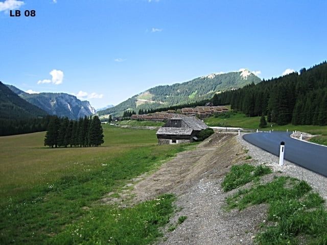
Radtour über den schweren Triebener Tauern Pass mit Steigungen an die 15% von Trieben nach Hohentauern. Von Oberzeiring her ist der Triebener Tauern Pass leicht mit nur ganz kurzen Steigungen von ca.10%. Viel Verkehr, da einige die Straße über Hohentauern als Abkürzung zwischen dem Murtal und dem Paltental verwenden.


Weitere Infos und Fotos zur Radtour Trieben - Hohentauern findest du auf

biketours4you.at


Zemljevid in višinski profil izleta

  • Open Street Map
  • Google
Minimum height 712 m Maximum height 1283 m Prikaz podrobnosti

More about the tour author

Trek1400d
Member since 2008

Send private message

Komentarji

Poti GPS

Trackpoints
  • GPX / Garmin Map Source (gpx) download
  • TCX / Garmin Training Center® (tcx) download
  • CRS / Garmin Training Center® (crs) download
  • Google Earth (kml) download
  • G7ToWin (g7t) download
  • TTQV (trk) download
  • Overlay (ovl) download
  • Fugawi (txt) download
  • Kompass (DAV) Track (tk) download
  • List z izleti (pdf) download
  • Original file of the author (gpx) download

More about the tour author

Trek1400d
Member since 2008

Send private message
Share track
Add to my favorites
Remove from my favorites
Edit tags
My score
Rate
Izlet: Hohentauern Radtour
Vrsta: Dirkalno kolo
Dolžina: 31,5 km
Evaluated on:
Trajanje:
Day(s)
Hour(s)
Minute(s)
Ocena: Pokrajina Dejavnik zabave Kondicija Tehnika