Login

Si pozabil/a podatke za prijavo?

Cookies have to be accepted!
Your browser's cookie functionality is disabled. Please enable this functionality.

Not a member yet?

Register now
Login

Available for registred users only

Log in to use this feature.

Si pozabil/a podatke za prijavo?

Cookies have to be accepted!
Your browser's cookie functionality is disabled. Please enable this functionality.

Not a member yet?

Register now
Filter
Kategorije
Advanced filters
  • Dolžina (km)
  • Metri nadmorske višine
Shrani filter Reset filter

TrackRank

QRCode

Technical data

Dolžina18,8 km Metri nadmorske višine916 m Way down535 m Trajanje04:30 h:m Datum06.08.2008
Ocene Author User Pokrajina Dejavnik zabave Kondicija Tehnika

Statistika

814 Pogledi 1 Ocena 112 Prenosi 5.00 Povprečje
Rate
  • List z izleti
  • Prihod
  • Prenosi
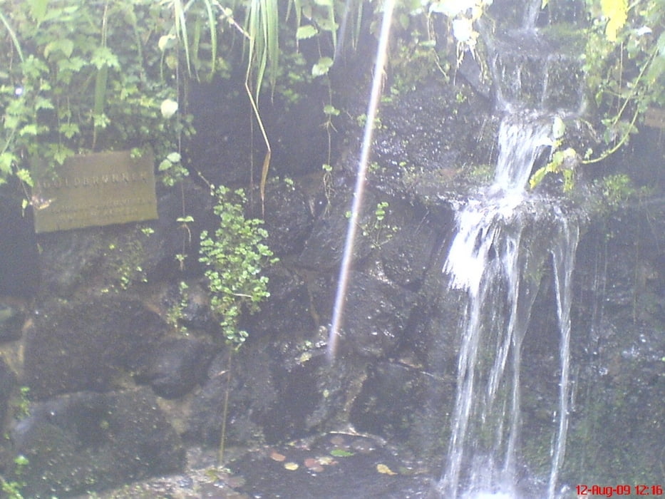
Durch das Naturschutzgebiet Rootes Moor  - eines der letzten Hochmoore Hessens

Galerija izletov

Zemljevid in višinski profil izleta

  • Open Street Map
  • Google
Minimum height 450 m Maximum height 930 m Prikaz podrobnosti

More about the tour author

oboe-kg
Member since 2008

Send private message

Komentarji

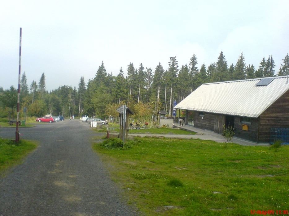
Einstieg in die Tour am Parkplatz Moordorf direkt an der B 278 zwischen Gersfeld und Wüstensachsen
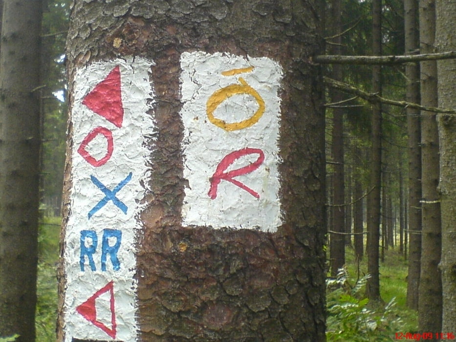
Poti GPS

Trackpoints
  • GPX / Garmin Map Source (gpx) download
  • TCX / Garmin Training Center® (tcx) download
  • CRS / Garmin Training Center® (crs) download
  • Google Earth (kml) download
  • G7ToWin (g7t) download
  • TTQV (trk) download
  • Overlay (ovl) download
  • Fugawi (txt) download
  • Kompass (DAV) Track (tk) download
  • List z izleti (pdf) download
  • Original file of the author (gpx) download

More about the tour author

oboe-kg
Member since 2008

Send private message
Share track
Add to my favorites
Remove from my favorites
Edit tags
My score
Rate
Izlet: Extratour Rotes Moor
Vrsta: Pešačenje
Dolžina: 18,8 km
Evaluated on:
Trajanje:
Day(s)
Hour(s)
Minute(s)
Ocena: Pokrajina Dejavnik zabave Kondicija Tehnika