


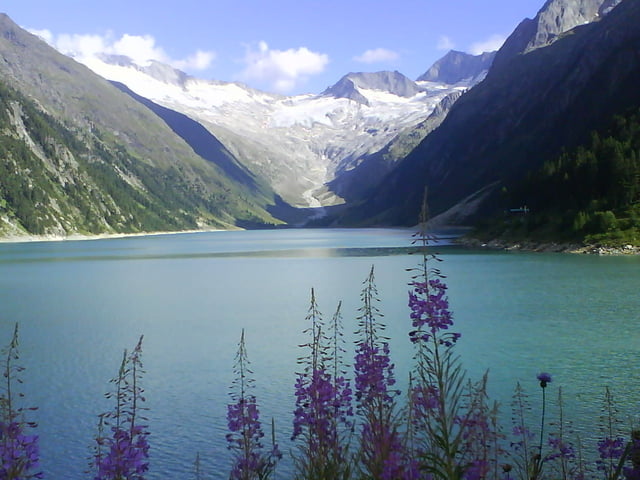
Transalp von Berchtesgaden nach Berchtesgaden über die Nordalpen bis Oberstdorf (Achtung Auftstieg zum Nebelhorn ausschließlich 1000 Hm Tragepassage, bei Regen absolut nicht empehlenswert, da fast keine Markierungspunkte vorhanden sind, diese Passage sollte über Sonthofen umfahren werden) ,über den Schrofenpass jetzt auf der Südalpenseite mit Flexenpass nach St- Anton über die Heilbronnerhütte nach Ischgl. Von Ischgl nach Latsch über dem Fimpapass 2608m und die Uina Schlucht. Von Latsch nach Tarsch über Sulden Madritschjoch (ohne Seilbahn) 3123 m. Von Tarsch über Schloß Juval ins Paseiertal über das Eisjöchl 2895 m nach St. Leonhard. Danach über den Jaufenpass nach Sterzing über das Pfitscherjoch nach Mayerhofen im Ziillertal. Von Mayerhofen über den Gerlospass nach Kitzbühl, Abfahrt über den berühmten Hahnenkamm. Kitzbühl über den Römersattel, Litzelalm und Kühroint nach Berchtesgaden.
Galerija izletov


Zemljevid in višinski profil izleta
Minimum height 468 m
Maximum height 3103 m
More about the tour author
|
|
riege |
Komentarji

Poti GPS
Trackpoints-
GPX / Garmin Map Source (gpx) download
-
TCX / Garmin Training Center® (tcx) download
-
CRS / Garmin Training Center® (crs) download
-
Google Earth (kml) download
-
G7ToWin (g7t) download
-
TTQV (trk) download
-
Overlay (ovl) download
-
Fugawi (txt) download
-
Kompass (DAV) Track (tk) download
-
List z izleti (pdf) download
-
Original file of the author (gpx) download
More about the tour author
|
|
riege |
Add to my favorites
Remove from my favorites
Edit tags
Open track
My score
Rate