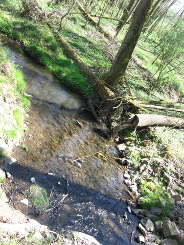
Die Runde führt durch abwechslungsreiche Landschaft mit immer wieder neuen Eindrücken und Blickhorizonten. Es gibt viele kürzere sowie steile oder auch längere flache Anstiege und danach Genussabfahrten.
Further information at
http://www.vogelsberg-touristik.de/weitere_Touren.359.0.htmlGalerija izletov
Zemljevid in višinski profil izleta
Minimum height 259 m
Maximum height 456 m
Komentarji

Poti GPS
Trackpoints-
GPX / Garmin Map Source (gpx) download
-
TCX / Garmin Training Center® (tcx) download
-
CRS / Garmin Training Center® (crs) download
-
Google Earth (kml) download
-
G7ToWin (g7t) download
-
TTQV (trk) download
-
Overlay (ovl) download
-
Fugawi (txt) download
-
Kompass (DAV) Track (tk) download
-
List z izleti (pdf) download
-
Original file of the author (gpx) download
Add to my favorites
Remove from my favorites
Edit tags
Open track
My score
Rate


