
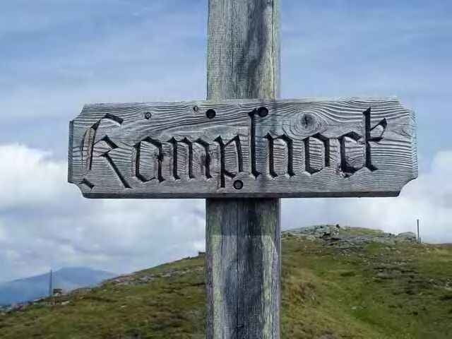

von Spittal nach Krembrücke und quasi von der Hinterseite auf das Kamplnock... und über Millstatt - Seeboden zurück nach Spittal
Die letzten HM Meter müssen geschogen werden, sonst ist die tour wunderbar befahrbar und nicht schwierig
Die letzten HM Meter müssen geschogen werden, sonst ist die tour wunderbar befahrbar und nicht schwierig
Galerija izletov

Zemljevid in višinski profil izleta
Minimum height 561 m
Maximum height 2053 m
More about the tour author

|
mastergraf |
Komentarji

Defner Wolfram
on 22.07.2006
Defner Wolfram
on 22.07.2006
Der Anstieg erfolgt entlang der Millstätter Almstraße, großteils Asphalt, dann Schotter. Wasser zum Nachfüllen am Straßenrand vorhanden. Bei Schönwetter ziemlicher PKW-Verkehr. Wer bis zum Gipfelkreuz will, muß die letzten 200Hm zu Fuß weiter. Schöner Downhill auf Forststraße (Schotter). Von Eisentratten bis Gmünd gibts einen Wanderweg (Beginn unter Autobahnbrücke). Ab Gmünd die Straße benützen.
Poti GPS
Trackpoints-
GPX / Garmin Map Source (gpx) download
-
TCX / Garmin Training Center® (tcx) download
-
CRS / Garmin Training Center® (crs) download
-
Google Earth (kml) download
-
G7ToWin (g7t) download
-
TTQV (trk) download
-
Overlay (ovl) download
-
Fugawi (txt) download
-
Kompass (DAV) Track (tk) download
-
List z izleti (pdf) download
-
Original file of the author (g7t) download
More about the tour author
|
|
mastergraf |
Add to my favorites
Remove from my favorites
Edit tags
Open track
My score
Rate