
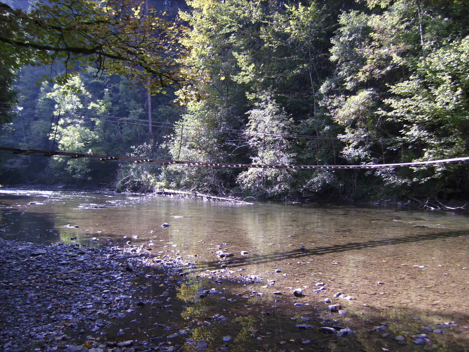

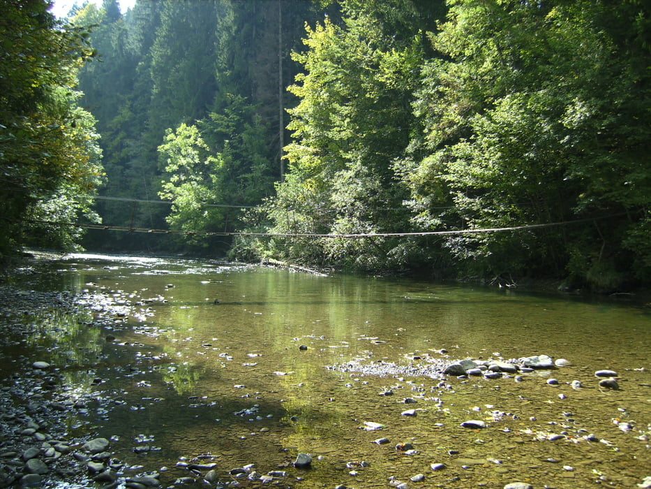
Hängebrücke Görisried
Further information at
http://www.allgaeu-ausfluege.de/05haengesteg.htmGalerija izletov


Zemljevid in višinski profil izleta
Minimum height 637 m
Maximum height 876 m
More about the tour author
|
|
Gegs |
Komentarji
Poti GPS
Trackpoints-
GPX / Garmin Map Source (gpx) download
-
TCX / Garmin Training Center® (tcx) download
-
CRS / Garmin Training Center® (crs) download
-
Google Earth (kml) download
-
G7ToWin (g7t) download
-
TTQV (trk) download
-
Overlay (ovl) download
-
Fugawi (txt) download
-
Kompass (DAV) Track (tk) download
-
List z izleti (pdf) download
-
Original file of the author (gpx) download
More about the tour author
|
|
Gegs |
Add to my favorites
Remove from my favorites
Edit tags
Open track
My score
Rate
Hängebrücke
Lob an den Aufzeichner dieser Tour
Macht richtig Spaß
War nicht das letzte Mal.
J.L.