
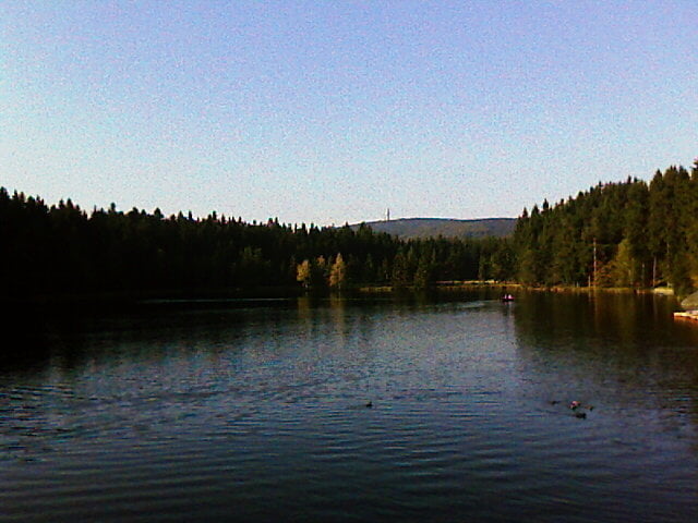

Die Tour beginnt in Goldkronach und führt über den M-Weg um den Ochsenkopf zum Seehaus in den H-Weg zur Kösseine. Dann über den Q-Weg über den Fichtelsee zurück auf den M-Weg zurück nach Goldkronach.
In den Bereichen Seehaus, Platte, hohe Matze und Kösseine sind Schiebe und Tragepassagen die auf Forstwegen umfahren werden können, man verzichtet dabei allerdings auf geniale und anspruchsvolle Trails abwärts!
Ich wünsche viel Spass!
Zemljevid in višinski profil izleta
Minimum height 444 m
Maximum height 955 m
More about the tour author
|
|
berndhuber |
Komentarji

A9, Abfahrt Bayreuth nord, Richtung Bischofsgrün.
Poti GPS
Trackpoints-
GPX / Garmin Map Source (gpx) download
-
TCX / Garmin Training Center® (tcx) download
-
CRS / Garmin Training Center® (crs) download
-
Google Earth (kml) download
-
G7ToWin (g7t) download
-
TTQV (trk) download
-
Overlay (ovl) download
-
Fugawi (txt) download
-
Kompass (DAV) Track (tk) download
-
List z izleti (pdf) download
-
Original file of the author (gpx) download
More about the tour author
|
|
berndhuber |
Add to my favorites
Remove from my favorites
Edit tags
Open track
My score
Rate