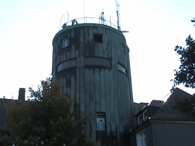
Tour zum höchsten Punkt im Sauerland
Über das "Alte Bähnchen" geht's Richtung Ramsbeck.
Nun durch das Valmetal bis zum Quellgebiet "Nasse Wiese.
Links abbiegen Richtung Altastenberg, noch einmal links abbiegen zu wunderbaren Trails über Holzstege in Richtung Astenturm.
Der Rückweg führt über Rothaarsteig und den Ruhrtal-Radweg.
Galerija izletov
Zemljevid in višinski profil izleta
Minimum height
Maximum height
Komentarji
Poti GPS
Trackpoints-
GPX / Garmin Map Source (gpx) download
-
TCX / Garmin Training Center® (tcx) download
-
CRS / Garmin Training Center® (crs) download
-
Google Earth (kml) download
-
G7ToWin (g7t) download
-
TTQV (trk) download
-
Overlay (ovl) download
-
Fugawi (txt) download
-
Kompass (DAV) Track (tk) download
-
List z izleti (pdf) download
-
Original file of the author (gpx) download
Add to my favorites
Remove from my favorites
Edit tags
Open track
My score
Rate


Download Touren
Könntest Du mir Deine Touren bitte im Garmin Mapsoure Format xxxxx.gpx mailen? Es ist sehr umständlich, die Touren hier alle runterzuladen.
Schick die Touren bitte an tom-hesse@gmx.de
In Kürze werden dann hier auch einige von meinen Touren erscheinen. ;-)
Ich hätte auch eine geknackte V3 Karte. Allerdings macht die im Moment Ärger beim Markieren einer Kachel.
Die Software schmiert dann ab. Kann aber sehr gut an meinem PC/Windows liegen.
Bye,
Tom