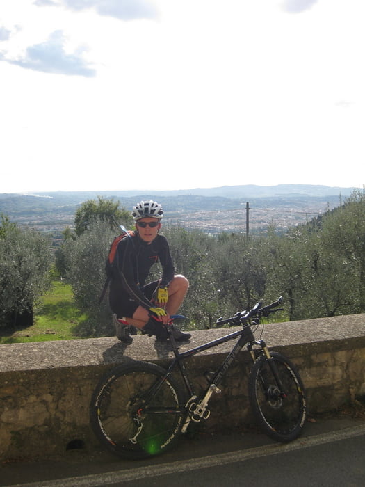
Eine super Trainingsrunde im Osten von Florenz. Aufstiege mit Steigungen bis ca. 22 % und ein Megatrail bei der Abfahrt. Dieser ist zwar nicht allzu schwierig, aber aufgrund derLänge von 4 km anspruchsvoll für Mensch und Material.
Galerija izletov
Zemljevid in višinski profil izleta
Minimum height 56 m
Maximum height 568 m
Komentarji
Autobahn in Florenz Süd verlassen und im Ortsteil Florenz Rovezzano entlang der Via di Rocca Tedalda parken. Am besten in Höhe des Bike shops an der Kreuzung zur Stradone di Rovezzano.
Poti GPS
Trackpoints-
GPX / Garmin Map Source (gpx) download
-
TCX / Garmin Training Center® (tcx) download
-
CRS / Garmin Training Center® (crs) download
-
Google Earth (kml) download
-
G7ToWin (g7t) download
-
TTQV (trk) download
-
Overlay (ovl) download
-
Fugawi (txt) download
-
Kompass (DAV) Track (tk) download
-
List z izleti (pdf) download
-
Original file of the author (gpx) download
Add to my favorites
Remove from my favorites
Edit tags
Open track
My score
Rate


Tolle Tour