Login

Si pozabil/a podatke za prijavo?

Cookies have to be accepted!
Your browser's cookie functionality is disabled. Please enable this functionality.

Not a member yet?

Register now
Login

Available for registred users only

Log in to use this feature.

Si pozabil/a podatke za prijavo?

Cookies have to be accepted!
Your browser's cookie functionality is disabled. Please enable this functionality.

Not a member yet?

Register now
Filter
Kategorije
Advanced filters
  • Dolžina (km)
  • Metri nadmorske višine
Shrani filter Reset filter

TrackRank

QRCode

Technical data

Dolžina37,7 km Metri nadmorske višine638 m Way down597 m Trajanje03:00 h:m Datum19.10.2008
Ocene Author Pokrajina Dejavnik zabave Kondicija Tehnika

Statistika

2254 Pogledi Ocene 230 Prenosi Povprečje
Rate
  • List z izleti
  • Prihod
  • Prenosi

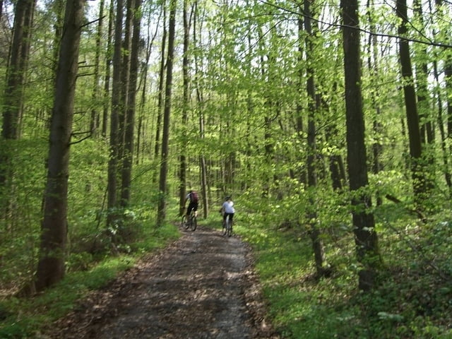
Auf dem Keltenweg, größtenteils auf Trails/ Forstautobahn bis Handthal.

Von dort in dieser Variante aus Zeitgründen auf Bundesstrasse/ Forststrasse zurück.

Lässt sich aber auch bequem auf dem Keltenweg (Trail) in umgekehrter Richtung zurück fahren!


Zemljevid in višinski profil izleta

  • Open Street Map
  • Google
Minimum height 265 m Maximum height 480 m Prikaz podrobnosti

More about the tour author

schuh
Member since 2008

Send private message

Komentarji

A3 nach Wiesentheid oder Geiselwind.

Von dort auf Landstrasse nach Abtswind.

Trail Beginn ist ein Wanderparkplatz zwischen Abtswind und Rehweiler am Friedrichsberg.

Poti GPS

Trackpoints
  • GPX / Garmin Map Source (gpx) download
  • TCX / Garmin Training Center® (tcx) download
  • CRS / Garmin Training Center® (crs) download
  • Google Earth (kml) download
  • G7ToWin (g7t) download
  • TTQV (trk) download
  • Overlay (ovl) download
  • Fugawi (txt) download
  • Kompass (DAV) Track (tk) download
  • List z izleti (pdf) download
  • Original file of the author (gpx) download

More about the tour author

schuh
Member since 2008

Send private message
Share track
Add to my favorites
Remove from my favorites
Edit tags
My score
Rate
Izlet: Keltenweg im Steigerwald, Abtswind bis Handthal
Vrsta: Gorsko kolo
Dolžina: 37,7 km
Evaluated on:
Trajanje:
Day(s)
Hour(s)
Minute(s)
Ocena: Pokrajina Dejavnik zabave Kondicija Tehnika