


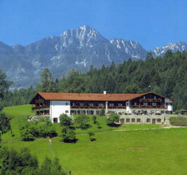
Eine kleine Runde rund um den Högl bei Ainring
Die Tour startet in Ainring und führt euch über Asphalt bis zum Ulrichshögl. Von dort geht es über Waldwege und Trail bergauf bis zum Sendeturm. Dann führt euch die Tour weiter über Trails zum Aussichtspuntk an der Neubichler Alm. Hier ist besonders auf Wanderer zu achten. Danach geht es weiter über Waldwege und Trails an der Kirche St. Johann vorbei zurück nach Ainring.
Viel Spaß
Galerija izletov
Zemljevid in višinski profil izleta
Minimum height 429 m
Maximum height 795 m
More about the tour author
|
|
schnitzelschwager |
Komentarji

Von Norden und Süden aus kommt ihr am Besten über die Autobahn A8. An der Ausfahrt Bad Reichenhall richtet ihr euch nach der Anschrift Ainring.
Poti GPS
Trackpoints-
GPX / Garmin Map Source (gpx) download
-
TCX / Garmin Training Center® (tcx) download
-
CRS / Garmin Training Center® (crs) download
-
Google Earth (kml) download
-
G7ToWin (g7t) download
-
TTQV (trk) download
-
Overlay (ovl) download
-
Fugawi (txt) download
-
Kompass (DAV) Track (tk) download
-
List z izleti (pdf) download
-
Original file of the author (gpx) download
More about the tour author
|
|
schnitzelschwager |
Add to my favorites
Remove from my favorites
Edit tags
Open track
My score
Rate