

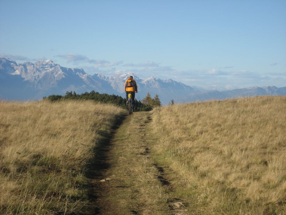
Der Mt Altissimo bietet fantastische Ausblicke auf den Gardasee und vorallem auf das umliegende Bergpanorama. Aber erst einmal muss man etwa 2000 hm bergauf bewältigen.
Die hier beschrieben Route führt, in Torbole startend, in einem großen Bogen um den Monte herum. Bis zur Refugio Graziani kommt man auf Radwegen und kleineren Strassen recht gut voran und gewinnt schnell an Höhe.
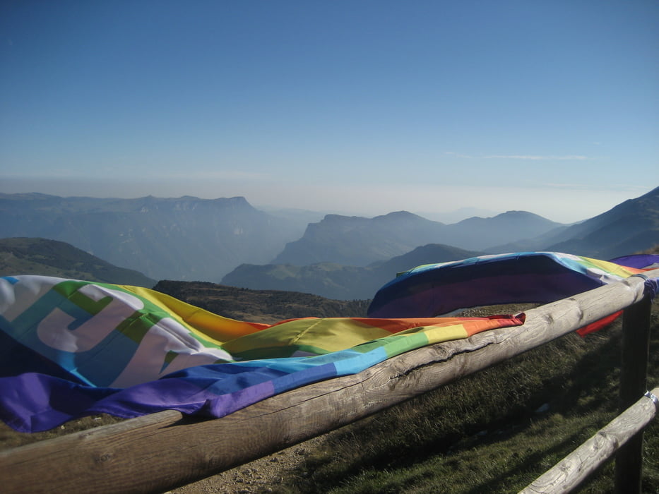
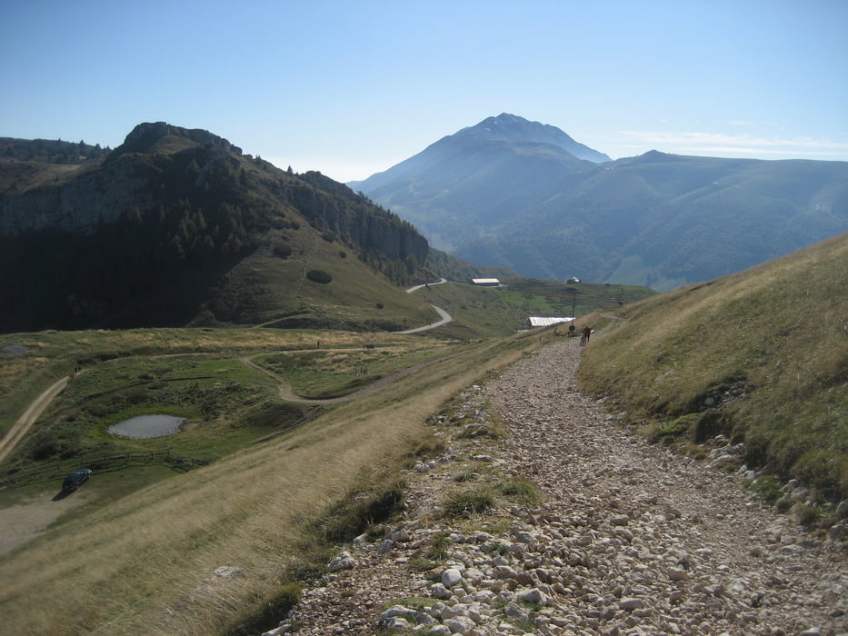
Ab dem Refugio allerdings braucht man viel Luft in den Lungen und Kraft in den Beinen. Der Schotter ist grob, die Steigung hoch und ich muss zugeben ich hab geschoben - aber nur ein paar Meter .... :) Der Blick von oben ist aber gigantisch und die Anstrengung auf jeden Fall wert.
Im Rifugio Altissimo kann man was kleines Essen und für eine längere Schiebepassage Kraft tanken. Nach 2 km kommt man auf eine gut fahrbare Abfahrt und kann in einem Rutsch bis Torbole runterrollen.
Viel Spass dabei !
Galerija izletov

Zemljevid in višinski profil izleta
Minimum height 64 m
Maximum height 2066 m
More about the tour author
|
|
chrisseGPX |
Komentarji

Poti GPS
Trackpoints-
GPX / Garmin Map Source (gpx) download
-
TCX / Garmin Training Center® (tcx) download
-
CRS / Garmin Training Center® (crs) download
-
Google Earth (kml) download
-
G7ToWin (g7t) download
-
TTQV (trk) download
-
Overlay (ovl) download
-
Fugawi (txt) download
-
Kompass (DAV) Track (tk) download
-
List z izleti (pdf) download
-
Original file of the author (gpx) download
More about the tour author
|
|
chrisseGPX |
Add to my favorites
Remove from my favorites
Edit tags
Open track
My score
Rate