Login

Si pozabil/a podatke za prijavo?

Cookies have to be accepted!
Your browser's cookie functionality is disabled. Please enable this functionality.

Not a member yet?

Register now
Login

Available for registred users only

Log in to use this feature.

Si pozabil/a podatke za prijavo?

Cookies have to be accepted!
Your browser's cookie functionality is disabled. Please enable this functionality.

Not a member yet?

Register now
Filter
Kategorije
Advanced filters
  • Dolžina (km)
  • Metri nadmorske višine
Shrani filter Reset filter

TrackRank

QRCode

Technical data

Dolžina16,0 km Metri nadmorske višine349 m Way down473 m Trajanje04:00 h:m Datum06.12.2008
Ocene Author Pokrajina Dejavnik zabave Kondicija Tehnika

Statistika

774 Pogledi Ocene 88 Prenosi Povprečje
Rate
  • List z izleti
  • Prihod
  • Prenosi

Galerija izletov

Zemljevid in višinski profil izleta

  • Open Street Map
  • Google
Minimum height 740 m Maximum height 982 m Prikaz podrobnosti

More about the tour author

UncleMike
Member since 2008

Send private message

Komentarji

klemid on 14.01.2009

Ohne Worte

Lieber Mike,
schade dass Du nicht 2 Minuten Zeit findest, ein paar Zeilen Begleittext zu schreiben.
Gruß
K.
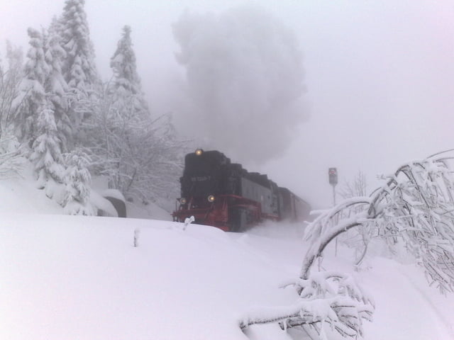
Am Besten nimmt man den Parkplatz am Torfhaus und das früh morgens :-)

Poti GPS

Trackpoints
  • GPX / Garmin Map Source (gpx) download
  • TCX / Garmin Training Center® (tcx) download
  • CRS / Garmin Training Center® (crs) download
  • Google Earth (kml) download
  • G7ToWin (g7t) download
  • TTQV (trk) download
  • Overlay (ovl) download
  • Fugawi (txt) download
  • Kompass (DAV) Track (tk) download
  • List z izleti (pdf) download
  • Original file of the author (gpx) download

More about the tour author

UncleMike
Member since 2008

Send private message
Share track
Add to my favorites
Remove from my favorites
Edit tags
My score
Rate
Izlet: Brokenversuch
Vrsta: Krplje
Dolžina: 16,0 km
Evaluated on:
Trajanje:
Day(s)
Hour(s)
Minute(s)
Ocena: Pokrajina Dejavnik zabave Kondicija Tehnika