Login

Si pozabil/a podatke za prijavo?

Cookies have to be accepted!
Your browser's cookie functionality is disabled. Please enable this functionality.

Not a member yet?

Register now
Login

Available for registred users only

Log in to use this feature.

Si pozabil/a podatke za prijavo?

Cookies have to be accepted!
Your browser's cookie functionality is disabled. Please enable this functionality.

Not a member yet?

Register now
Filter
Kategorije
Advanced filters
  • Dolžina (km)
  • Metri nadmorske višine
Shrani filter Reset filter

TrackRank

QRCode

Technical data

Dolžina5,6 km Metri nadmorske višine49 m Way down143 m Trajanje01:09 h:m Datum20.12.2008
Ocene Author Pokrajina Dejavnik zabave Kondicija Tehnika

Statistika

1311 Pogledi Ocene 111 Prenosi Povprečje
Rate
  • List z izleti
  • Prihod
  • Prenosi

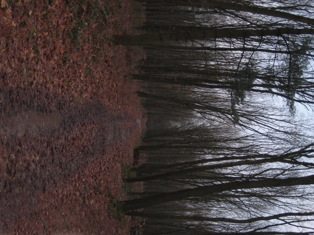
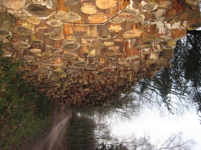
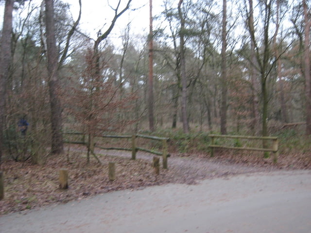
Sehr schöne kleine Runde ausgehend vom Parkplatz St. Johannes in Marl.

Es geht über kleine so wie große Wege.
"Berg" auf und "Berg" ab........

 Mehr auf meiner Seite www.GPX-Touren.de.

Galerija izletov

Zemljevid in višinski profil izleta

  • Open Street Map
  • Google
Minimum height 53 m Maximum height 149 m Prikaz podrobnosti

More about the tour author

KlausD
Member since 2008

Send private message

Komentarji

KlausD on 20.12.2008

Höhenangaben

Die Höhenangaben der ersten 200/300m am Anfang der Tour sind sicher falsch aufgezeichnet, ich weiss nicht was das GPS-Gerät da gemacht hat, da nach stimmen sie aber. :-).
KlausD

Poti GPS

Trackpoints
  • GPX / Garmin Map Source (gpx) download
  • TCX / Garmin Training Center® (tcx) download
  • CRS / Garmin Training Center® (crs) download
  • Google Earth (kml) download
  • G7ToWin (g7t) download
  • TTQV (trk) download
  • Overlay (ovl) download
  • Fugawi (txt) download
  • Kompass (DAV) Track (tk) download
  • List z izleti (pdf) download
  • Original file of the author (gpx) download

More about the tour author

KlausD
Member since 2008

Send private message
Share track
Add to my favorites
Remove from my favorites
Edit tags
My score
Rate
Izlet: Haard Runde von St. Johannes aus!
Vrsta: Pešačenje
Dolžina: 5,6 km
Evaluated on:
Trajanje:
Day(s)
Hour(s)
Minute(s)
Ocena: Pokrajina Dejavnik zabave Kondicija Tehnika