


In Anlehung an Tour 16204 hier und Link weiter unten.
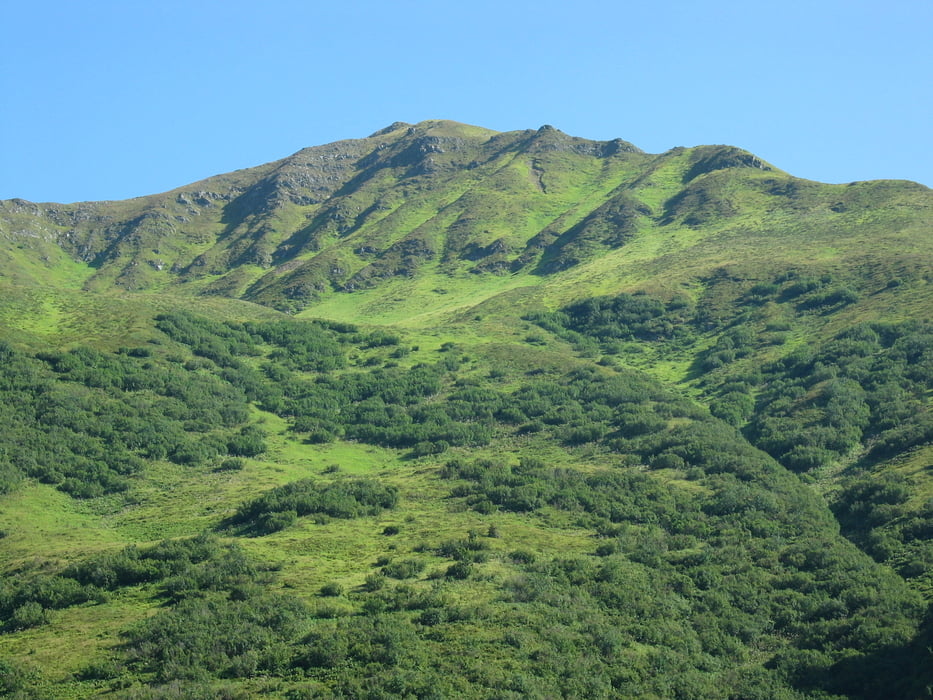
Von Schruns nach Tschagguns. Dann erstmal Höhe machen bis man auf den Aquaweg trifft. Dort flach weiter mit schönen Aussichten in Tal bis zum Einstig in das Gampadeltal. Hinauf bis zum (unspektakulären) Stausee. Wer fit ist kann natürlich auch noch weiter zur Mittagsspitze hoch (noch 600 hm). Beim Auf- und Abstieg im Gampadelstal auf Murmeltiere auf Höhe der Gapadelsalpe achten (sind schon mehrfach dort gesichtet worden). Nach Überqueren des Gampadelsbachs folgt ein verschwiegener kleiner Pfad bis man wieder auf den Aqua-Weg nach Bitschweil trifft. Dort ggf. in die Jausenstation einkehren bevor es in weiten asphaltierten Serpentinen ins Tal geht
Further information at
http://www.gps-odenwald.de/html/wanderungen___20km.htmlGalerija izletov

Zemljevid in višinski profil izleta
Minimum height 667 m
Maximum height 1562 m
More about the tour author

|
helbing |
Komentarji

Start ist der Aktivpark Montafon zwischen Schruns und Tschagguns beim Schwimmbad an der Ill
Poti GPS
Trackpoints-
GPX / Garmin Map Source (gpx) download
-
TCX / Garmin Training Center® (tcx) download
-
CRS / Garmin Training Center® (crs) download
-
Google Earth (kml) download
-
G7ToWin (g7t) download
-
TTQV (trk) download
-
Overlay (ovl) download
-
Fugawi (txt) download
-
Kompass (DAV) Track (tk) download
-
List z izleti (pdf) download
-
Original file of the author (gpx) download
More about the tour author
|
|
helbing |
Add to my favorites
Remove from my favorites
Edit tags
Open track
My score
Rate