Login

Si pozabil/a podatke za prijavo?

Cookies have to be accepted!
Your browser's cookie functionality is disabled. Please enable this functionality.

Not a member yet?

Register now
Login

Available for registred users only

Log in to use this feature.

Si pozabil/a podatke za prijavo?

Cookies have to be accepted!
Your browser's cookie functionality is disabled. Please enable this functionality.

Not a member yet?

Register now
Filter
Kategorije
Advanced filters
  • Dolžina (km)
  • Metri nadmorske višine
Shrani filter Reset filter

TrackRank

QRCode

Technical data

Dolžina137,2 km Metri nadmorske višine404 m Way down341 m Trajanje04:00 h:m Datum04.01.2009
Ocene Author Pokrajina Dejavnik zabave Kondicija Tehnika

Statistika

982 Pogledi Ocene 21 Prenosi Povprečje
Rate
  • List z izleti
  • Prihod
  • Prenosi
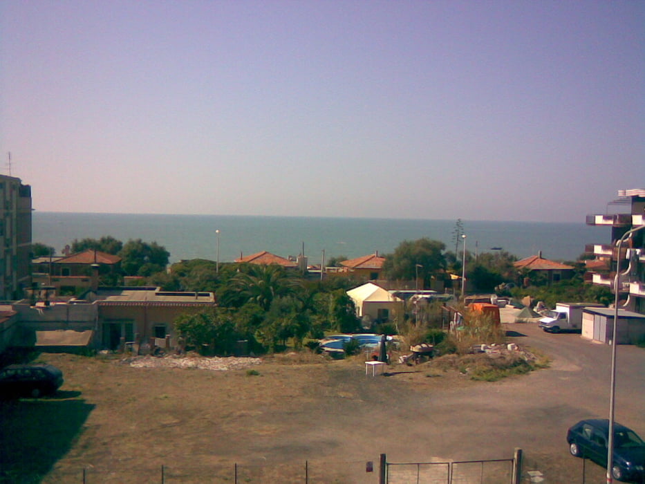
Dies ist eine typische Flachlandetappe für den Winter. Porta Anzio ist eine wunderschöne Stadt wo im zweiten Weltkrieg die Amerikaner an Land kamen um gegen die Deutschen zu kämpfen.

Galerija izletov

Zemljevid in višinski profil izleta

  • Open Street Map
  • Google
Minimum height 3 m Maximum height 71 m Prikaz podrobnosti

More about the tour author

tlorenz
Member since 2007

Send private message

Komentarji

Poti GPS

Trackpoints
  • GPX / Garmin Map Source (gpx) download
  • TCX / Garmin Training Center® (tcx) download
  • CRS / Garmin Training Center® (crs) download
  • Google Earth (kml) download
  • G7ToWin (g7t) download
  • TTQV (trk) download
  • Overlay (ovl) download
  • Fugawi (txt) download
  • Kompass (DAV) Track (tk) download
  • List z izleti (pdf) download
  • Original file of the author (gpx) download

More about the tour author

tlorenz
Member since 2007

Send private message
Share track
Add to my favorites
Remove from my favorites
Edit tags
My score
Rate
Izlet: Rom Anzio und zurück
Vrsta: Dirkalno kolo
Dolžina: 137,2 km
Evaluated on:
Trajanje:
Day(s)
Hour(s)
Minute(s)
Ocena: Pokrajina Dejavnik zabave Kondicija Tehnika