


Samstag der 31.01.2009: Unsere erste Wanderung mit GPS!
Zur Tour:
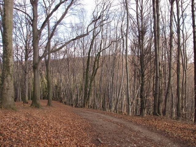
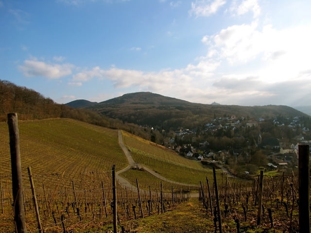
Es war Anfangs ein super kalter Wintertag welcher aber im weiteren Verlauf schöner und wärmer wurde. Die Tour selber war wie wir schon erwartet hatten mit nicht so vielen Highlights gespickt aber dennoch schön und abwechslungsreich. Es ging über viele Waldwege, wo oft noch stark befahrene Straßen in der nähe zu hören waren. Dafür gab es im späteren Routenverlauf einige nette Aussichtspunkte ins Tal. Die Tour hat Spaß gemacht und wir freuen uns auf weitere, bestimmt noch schönere, Rheinsteig Touren.
Further information at
http://www.rheinsteig.deGalerija izletov


Zemljevid in višinski profil izleta
Minimum height 51 m
Maximum height 203 m
More about the tour author
|
|
manolo80 |
Komentarji

Start ist in Bonn am Rathaus, an der Rheinsteig Info Tafel.
Poti GPS
Trackpoints-
GPX / Garmin Map Source (gpx) download
-
TCX / Garmin Training Center® (tcx) download
-
CRS / Garmin Training Center® (crs) download
-
Google Earth (kml) download
-
G7ToWin (g7t) download
-
TTQV (trk) download
-
Overlay (ovl) download
-
Fugawi (txt) download
-
Kompass (DAV) Track (tk) download
-
List z izleti (pdf) download
-
Original file of the author (gpx) download
More about the tour author
|
|
manolo80 |
Add to my favorites
Remove from my favorites
Edit tags
Open track
My score
Rate