Login

Si pozabil/a podatke za prijavo?

Cookies have to be accepted!
Your browser's cookie functionality is disabled. Please enable this functionality.

Not a member yet?

Register now
Login

Available for registred users only

Log in to use this feature.

Si pozabil/a podatke za prijavo?

Cookies have to be accepted!
Your browser's cookie functionality is disabled. Please enable this functionality.

Not a member yet?

Register now
Filter
Kategorije
Advanced filters
  • Dolžina (km)
  • Metri nadmorske višine
Shrani filter Reset filter

TrackRank

QRCode

Technical data

Dolžina15,0 km Metri nadmorske višine368 m Way down370 m Trajanje03:22 h:m Datum14.02.2009
Ocene Author Pokrajina Dejavnik zabave Kondicija Tehnika

Statistika

1586 Pogledi Ocene 125 Prenosi Povprečje
Rate
  • List z izleti
  • Prihod
  • Prenosi

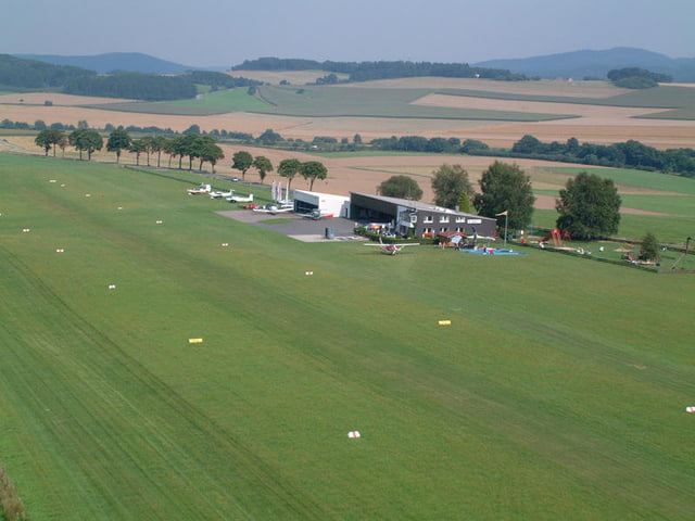
Einfache Wanderung durch das schöne Sauerland.

Zum Teil durh Wälder die keine mehr sind.(durch Kyrill)

Further information at

http://www.neuenrade.de/default_ie.htm

Galerija izletov

Zemljevid in višinski profil izleta

  • Open Street Map
  • Google
Minimum height 276 m Maximum height 518 m Prikaz podrobnosti

More about the tour author

navico
Member since 2009

Send private message

Komentarji

Anfahrt über die B229.

Parkplatz und Start hinter dem "Hotel Wilhelmshöhe"

Poti GPS

Trackpoints
  • GPX / Garmin Map Source (gpx) download
  • TCX / Garmin Training Center® (tcx) download
  • CRS / Garmin Training Center® (crs) download
  • Google Earth (kml) download
  • G7ToWin (g7t) download
  • TTQV (trk) download
  • Overlay (ovl) download
  • Fugawi (txt) download
  • Kompass (DAV) Track (tk) download
  • List z izleti (pdf) download
  • Original file of the author (gpx) download

More about the tour author

navico
Member since 2009

Send private message
Share track
Add to my favorites
Remove from my favorites
Edit tags
My score
Rate
Izlet: Rund um Neuenrade
Vrsta: Pešačenje
Dolžina: 15,0 km
Evaluated on:
Trajanje:
Day(s)
Hour(s)
Minute(s)
Ocena: Pokrajina Dejavnik zabave Kondicija Tehnika