


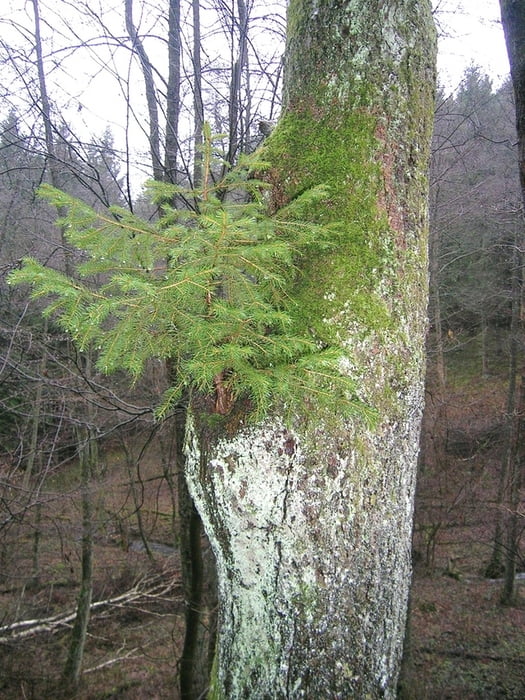
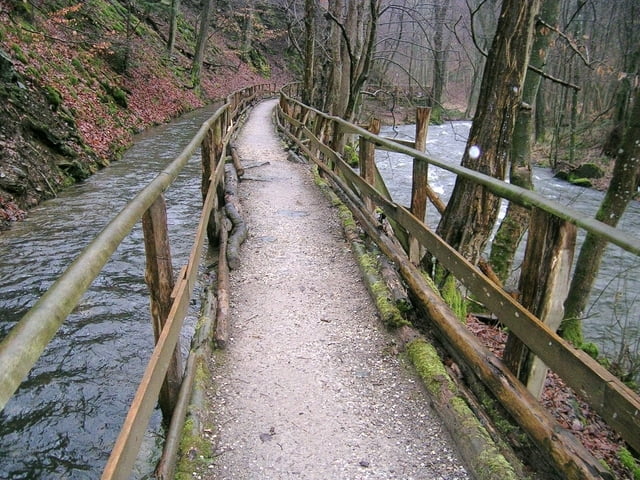
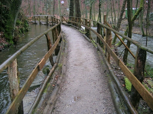
Der Weg führt durch die Täler des Richelsbachs, der Kall, des Tiefenbachs und des Bosselbachs. Die Fließgewässer samt ihrer Talböden (Auen) sind ein typischer und ökologisch wertvoller Bestandteil der Rureifel mit einem großen Tier- und Pflanzenreichtum. Diese Vielfalt ist den Bauern zu verdanken, die die Wiesen über Jahrhunderte hinweg gemäht haben.
Einkehrmöglichkeoten gibt es in Vossenack und die Mestrenger Mühle (Öffnungszeiten beachten - (0 24 74) 14 87 ) .
Further information at
http://www.ferienwohnung-dick.com/Galerija izletov

Zemljevid in višinski profil izleta
Minimum height 227 m
Maximum height 419 m
More about the tour author
|
|
Brunodick |
Komentarji

Zweifallshammer
Poti GPS
Trackpoints-
GPX / Garmin Map Source (gpx) download
-
TCX / Garmin Training Center® (tcx) download
-
CRS / Garmin Training Center® (crs) download
-
Google Earth (kml) download
-
G7ToWin (g7t) download
-
TTQV (trk) download
-
Overlay (ovl) download
-
Fugawi (txt) download
-
Kompass (DAV) Track (tk) download
-
List z izleti (pdf) download
-
Original file of the author (gpx) download
More about the tour author
|
|
Brunodick |
Add to my favorites
Remove from my favorites
Edit tags
Open track
My score
Rate